17 Rhodes Drive, Bury, BL9 8NH
About 17 Rhodes Drive
17 Rhodes Drive is a three-bedroom detached house in Bury (BL9 8NH). It has a recorded floor area of 125 m² (around 1345 sq ft), construction records dating it to 1967-1975 and council tax band E. The latest certificate (October 2023) shows a D (score 57), a step below the typical UK home. The recommended improvements would push it to C (score 76). Other recorded features include notable views and a conservatory.
On a £-per-square-foot basis, the last sale (£265/sq ft) was about 61.4% above the typical sold price in the postcode. Last sale on file: £357,000 in March 2024.
Know exactly what you're buying at 17 Rhodes Drive
Before you offer, see what the listing won't tell you, the true value, the red flags and the full history.
Already flagged here
Valuation
against the asking price
Risks
planning & flood
Sold prices
similar homes nearby
Trends
the local market
What this property has
Inside
- Bedrooms3
- Bathrooms1
- Dining roomYes
- CloakroomYes
- ConservatoryYes
Outside
- Private gardenYes
- DrivewayYes
- Notable viewsYes
Energy performance
17 Rhodes Drive's carbon output runs well above what efficient homes in the postcode produce.
EPC Rating
Planning history
17 Rhodes Drive has no planning applications on record.
Notable planning nearby
1applications of note in the surrounding area
We flagged 1 thing worth checking at 17 Rhodes Drive
Independent checks surfaced things a buyer would want to understand before offering. The report explains each one in full, with the underlying data and what to ask.
- Larger development activity nearby
30-day money-back guarantee
Sales history & valuation
17 Rhodes Drive valuation sits well clear of the typical sold price in this postcode.
£388,000
Modelled from EPC, postcode comparables.
£357,000
Recorded with HM Land Registry.
Sales timeline
15 March 2024Most recent
£357,000
Median price across the last 5 sales in BL9 8NH: £358,000 (2024–2022).
Everything we know about 17 Rhodes Drive, in one report
What it's really worth, what could be wrong, and the planning, sales and area data in full.
What we flagged
- Larger development activity nearby

Versus other Rhodes Drive homes
Years Held for 17 Rhodes Drive lags the street by a wide margin.
Price per m²
£2,856
Street avg £2,297
Floor Area
125 m²
Street avg 124 m²
Habitable Rooms
6 rooms
Street avg 6 rooms
CO₂ Emissions
6.3 t/year
Street avg 5.4 t/year
Similar properties nearby
The neighbourhood at a glance
Rail-style transport is unusually close for this postcode.
Nearest stop
0.2 km
Wavell Drive — bus stop.
Closest school
0.2 km
All Saints Church of England Primary School, Stand. 24 schools nearby.
Go deeper on the local area
The full report breaks down crime, transport links, schools and air quality in depth.
Road noise across the postcode
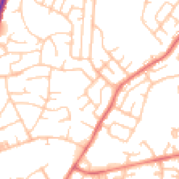
Daytime· 07:00 – 23:00
51.7dB

Night-time· 23:00 – 07:00
42.5dB