26 Byron Road, Greenmount, Bury, BL8 4EN
About 26 Byron Road
26 Byron Road is a property in Greenmount, Bury, Bury (BL8 4EN). It has council tax band D.
Energy performance
No EPC on record
This property doesn't have an Energy Performance Certificate yet. An EPC is required to sell or let — and unlocks our automated valuation.
Planning history
No planning applications are recorded against 26 Byron Road, Greenmount, Bury, BL8 4EN. The full report also covers planning activity across the surrounding area.
Sales history & valuation
No sales recorded with HM Land Registry
That can mean the property has never traded since the registry began publishing in 1995, was a new build that hasn't been registered yet, or is held in the same hands long-term.
Median price across the last 5 sales in BL8 4EN: £342,000 (2024–2022).
Nearby sales in BL8 4EN
17 Byron Road, Greenmount, Bury, BL8 4EN
Sold Jun 2024
£69015 Byron Road, Greenmount, Bury, BL8 4EN
Sold Jul 2023
£400,00030 Byron Road, Greenmount, Bury, BL8 4EN
Sold Dec 2022
£335,00049 Byron Road, Greenmount, Bury, BL8 4EN
Sold Oct 2022
£342,0001 Byron Road, Greenmount, Bury, BL8 4EN
Sold Oct 2022
£410,000
Similar properties nearby
1 3 Croichley Fold, Hawkshaw
BL8 4JE
1 Alba Street, Holcombe
BL8 4NA
1 Andrew Close, Greenmount
BL8 4HQ
1 Balcombe Close
BL8 4PL
1 Balmoral Close, Greenmount
BL8 4DL
1 Beech Grove, Greenmount
BL8 4DY
1 Belvedere Avenue, Greenmount
BL8 4ED
1 Bleaklow Court, Hawkshaw
BL8 4PT
The neighbourhood at a glance
Daytime road noise here sits well below conversation level — a quiet pocket of the postcode.
Crime
1/mo
Steady year-on-year across the wider district.
Nearest stop
0.2 km
Bolton Road — bus stop.
Closest school
0.3 km
Greenmount Primary School. 16 schools nearby.
Road noise across the postcode
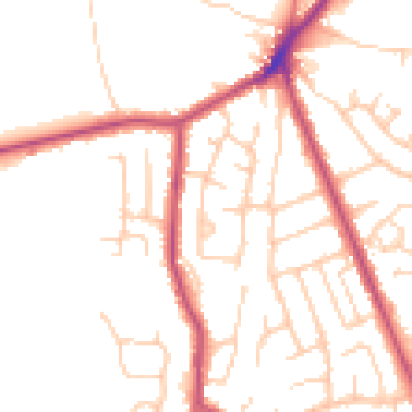
Daytime· 07:00 – 23:00
49.7dB

Night-time· 23:00 – 07:00
40.9dB