3 Hollinswood Road, Bolton, BL2 1PB
About 3 Hollinswood Road
3 Hollinswood Road is a three-bedroom semi-detached house in Bolton (BL2 1PB). It has a recorded floor area of 94 m² (around 1012 sq ft), construction records dating it to 1930-1949 and council tax band B. The latest certificate (December 2013) shows a D (score 66), on the cusp of jumping into the C band. The recommended improvements would lift it to B (score 83), a 2-band jump. The latest certificate is from December 2013, so improvements made since then won't be reflected.
At 94 m² the property is well over the postcode median (72 m² across 9 EPCs), placing it in the larger end of the local stock. 3 planning records sit against the property, 2 approved, 0 refused. Past consents include an extension and a porch, meaningful when judging how the property has evolved. Last changed hands 12 years ago, in February 2014. Across 2004–2014, sale prices on this property compounded at 2.7% per year. Today's modelled estimate of £192,000 is 43.3% above the 2014 sale price.
What this property has
Inside
- Bedrooms3
Everything you need to know about 3 Hollinswood Road
The true value, the hidden risks and the full sale history, in one report.
Pick your report · every report is £14.99
One time fee only - money back guarantee

The data behind every report


Energy performance
Recommended upgrades on file would lift this property by multiple EPC bands.
EPC Expired
This certificate is over 10 years old and is no longer valid.Expired 11 Dec 2023
EPC Rating
Get a survey for this property
Level 2 HomeBuyer Report
We've checked 10 risk factors against the available data for this property and believe a Level 2 HomeBuyer Report could be a suitable option for you.
From £495 · Includes VAT
Planning history
3 Hollinswood Road has an approved side extension on the planning record.
3 applications on record at 3 Hollinswood Road, Bolton, BL2 1PB
- Mar 2015Change of UseOutlineOutcome in report
CERTIFICATE OF LAWFUL DEVELOPMENT (S192) FOR THE PROPOSED ADDITIONAL USE OF A DWELLING HOUSE AS A BASE FOR TAKING TELEPHONE BOOKINGS FOR THE OPERATION OF ONE PRIVATE HIRE VEHICLE TO BE USED BY ONE OPERATOR
- Documents
- 3 docs on file
- Reference
- 93669/15
- More recent applications — locked
- ExtensionAug 2023Decision
- PorchFeb 2022Decision
Unlock 3 Hollinswood Road, Bolton, BL2 1PB's full planning history
You're seeing the shape of it. The report has the substance.
- Every decision — granted, refused or withdrawn (3 on record)
- All 3 applications on this property in full, plus 13 notable nearby
- The 14 documents, officer reports & conditions
- What the pattern means for extending or converting here
One time fee only - money back guarantee
Sales history & valuation
3 Hollinswood Road saw 3 transfers in just over a decade — high turnover for the postcode.
£192,000
Modelled from EPC, postcode comparables and a sale-price growth of 2.7% per year over 9 years.
£134,000
Growth on file: 2.7% per year over 9 years.
Sales timeline
18 February 2014Most recent
£134,000
-4.3%over 6 years16 March 2007
£140,000
+33.3%over 2 years3 November 2004
£105,000
Median price across the last 5 sales in BL2 1PB: £150,000 (2021–2013).
Nearby sales in BL2 1PB
Versus other Hollinswood Road homes
On epc rating, 3 Hollinswood Road stands well clear of the street.
Price per m²
£1,426
Street avg £1,916
Floor Area
94 m²
Street avg 75 m²
Habitable Rooms
4 rooms
Street avg 4 rooms
CO₂ Emissions
3.5 t/year
Street avg 3.9 t/year
Everything you need to know about 3 Hollinswood Road
The true value, the hidden risks and the full sale history, in one report.
Pick your report · every report is £14.99
One time fee only - money back guarantee
The data behind every report
Similar properties nearby
The neighbourhood at a glance
Crime
1/mo
Steady year-on-year across the wider district.
Nearest stop
0.3 km
Clarendon Grove — bus stop.
Closest school
0.3 km
Bolton Parish Church, Church of England Primary School. 48 schools nearby.
Go deeper on the local area
A Local Area report breaks down crime, transport links, schools and air quality in depth.
Road noise across the postcode
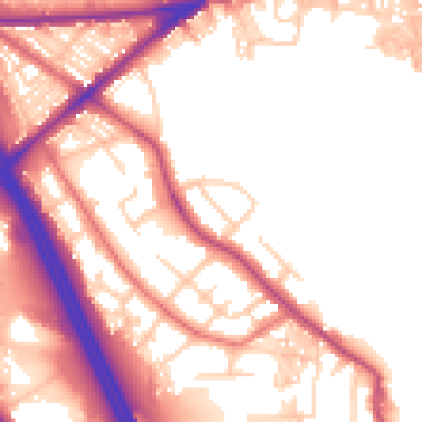
Daytime· 07:00 – 23:00
53.7dB

Night-time· 23:00 – 07:00
45.1dB