102a, Castle Lane West, Bournemouth, BH9 3JU
About 102a
102a is a mid-terrace house in Bournemouth (BH9 3JU). It has a recorded floor area of 52 m² (around 560 sq ft) and construction records dating it to 1950-1966. The latest certificate (January 2026) shows a D (score 67), on the cusp of jumping into the C band. When first surveyed in September 2021 the rating was E, the property has climbed 1 band since. Between certificates, roof efficiency went from Very Poor to Average and lighting went from Good to Very Good; while window efficiency dropped from Average to Poor. The recommended improvements would push it to C (score 74). This certificate was lodged in the last six months, so the rating reflects current condition.
It hasn't traded since March 1998, a hold of 28 years that's notably long for the area. Only one transfer is on record with HM Land Registry, suggesting it has stayed in the same hands for a long time. Today's modelled estimate of £216,000 sits 204.2% above the 1998 sale of £71,000.
Everything you need to know about 102a
The true value, the hidden risks and the full sale history, in one report.
Pick your report · every report is £14.99
One time fee only - money back guarantee

The data behind every report


Energy performance
The EPC has just been inspected, so the rating reflects current condition.
EPC Rating
Property Improvements
Changes detected from historical EPC data
Heating controls upgraded for better temperature management
Roof insulation improved
More low energy lighting installed
Get a survey for this property
Level 2 HomeBuyer Report
We've checked 10 risk factors against the available data for this property and believe a Level 2 HomeBuyer Report could be a suitable option for you.
From £545 · Includes VAT
Planning history
102a has no planning applications on record.
But the area is active
1 notable application nearby — larger schemes and conversions that could reshape the street. The report maps them all.
Sales history & valuation
102a's estimated value is more than triple its earliest registered sale price (1998).
£216,000
Modelled from EPC, postcode comparables.
£71,000
Recorded with HM Land Registry.
Sales timeline
30 March 1998Most recent
£71,000
Median price across the last 5 sales in BH9 3JU: £133,500 (2024–2017).
Nearby sales in BH9 3JU
100a, Castle Lane West, Bournemouth, BH9 3JU
Sold May 2024
£159,95090a, Castle Lane West, Bournemouth, BH9 3JU
Sold Jan 2024
£5,000110a, Castle Lane West, Bournemouth, BH9 3JU
Sold Oct 2022
£122,500104a, Castle Lane West, Bournemouth, BH9 3JU
Sold Aug 2017
£166,00080 Castle Lane West, Bournemouth, BH9 3JU
Sold Mar 2016
£145,000
Versus other Castle Lane West homes
Years Held for 102a runs comfortably ahead of the street norm.
Price per m²
£1,365
Street avg £1,792
Floor Area
52 m²
Street avg 64 m²
Habitable Rooms
2 rooms
Street avg 3 rooms
CO₂ Emissions
2.2 t/year
Street avg 3.0 t/year
Everything you need to know about 102a
The true value, the hidden risks and the full sale history, in one report.
Pick your report · every report is £14.99
One time fee only - money back guarantee
The data behind every report
Similar properties nearby
The neighbourhood at a glance
Crime
4/mo
Steady year-on-year across the wider district.
Nearest stop
0.1 km
Redbreast Road North — bus stop.
Closest school
0.6 km
The Epiphany School. 20 schools nearby.
Go deeper on the local area
A Local Area report breaks down crime, transport links, schools and air quality in depth.
Road noise across the postcode
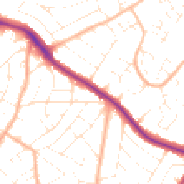
Daytime· 07:00 – 23:00
50.7dB

Night-time· 23:00 – 07:00
39.9dB