110a, Castle Lane West, Bournemouth, BH9 3JU
About 110a
110a is a semi-detached house in Bournemouth (BH9 3JU). It has a recorded floor area of 103 m² (around 1109 sq ft), construction records dating it to 1930-1949 and council tax band B. At 103 m² this is the largest unit on EPC record across the building (31–103 m²). The building's EPC ratings span E to C, with this unit at the bottom. The latest certificate (September 2018) shows an E (score 52), well below the UK norm with real room to improve. The recommended improvements would push it to D (score 56).
At 103 m² the property is well over the postcode median (57 m² across 18 EPCs), placing it in the larger end of the local stock. It lags the bulk of the postcode on energy efficiency (less efficient than 89% of similar EPCs). Across 2002–2022, sale prices on this property compounded at -1.9% per year. Today's modelled estimate of £288,000 sits 135.1% above the 2022 sale of £122,500. On a £-per-square-foot basis, the last sale (£110/sq ft) was about 15.2% below the postcode norm. Last sale on file: £122,500 in October 2022. That sale was during the post-pandemic price surge, when transactions cleared materially above pre-2020 trend.
Everything you need to know about 110a
The true value, the hidden risks and the full sale history, in one report.
Pick your report · every report is £14.99
One time fee only - money back guarantee

The data behind every report


Energy performance
EPC Rating
Get a survey for this property
Level 2 HomeBuyer Report
We've checked 10 risk factors against the available data for this property and believe a Level 2 HomeBuyer Report could be a suitable option for you.
From £545 · Includes VAT
Planning history
110a has no planning applications on record.
But the area is active
1 notable application nearby — larger schemes and conversions that could reshape the street. The report maps them all.
Sales history & valuation
110a's sale-price growth has lagged the wider UK trajectory across its history on file.
£288,000
Modelled from EPC, postcode comparables and a sale-price growth of -1.9% per year over 20 years.
£122,500
Growth on file: -1.9% per year over 20 years.
Sales timeline
18 October 2022Most recent
£122,500
-31.9%over 19 years15 November 2002
£180,000
Median price across the last 5 sales in BH9 3JU: £145,000 (2024–2016).
Nearby sales in BH9 3JU
100a, Castle Lane West, Bournemouth, BH9 3JU
Sold May 2024
£159,95090a, Castle Lane West, Bournemouth, BH9 3JU
Sold Jan 2024
£5,000104a, Castle Lane West, Bournemouth, BH9 3JU
Sold Aug 2017
£166,00080 Castle Lane West, Bournemouth, BH9 3JU
Sold Mar 2016
£145,00076a, Castle Lane West, Bournemouth, BH9 3JU
Sold Nov 2015
£163,500
Versus other Castle Lane West homes
On floor area, 110a stands well clear of the street.
Price per m²
£1,189
Street avg £1,812
Floor Area
103 m²
Street avg 61 m²
Habitable Rooms
5 rooms
Street avg 3 rooms
CO₂ Emissions
5.8 t/year
Street avg 2.8 t/year
Everything you need to know about 110a
The true value, the hidden risks and the full sale history, in one report.
Pick your report · every report is £14.99
One time fee only - money back guarantee
The data behind every report
Similar properties nearby
The neighbourhood at a glance
Crime
4/mo
Steady year-on-year across the wider district.
Nearest stop
0.1 km
Redbreast Road North — bus stop.
Closest school
0.6 km
The Epiphany School. 20 schools nearby.
Go deeper on the local area
A Local Area report breaks down crime, transport links, schools and air quality in depth.
Road noise across the postcode
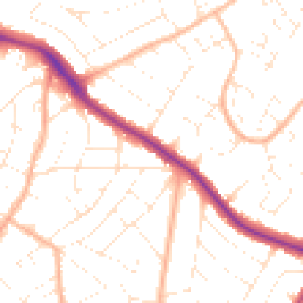
Daytime· 07:00 – 23:00
50.7dB

Night-time· 23:00 – 07:00
39.9dB