27 Haverstock Road, Bournemouth, BH9 3HQ
About 27 Haverstock Road
27 Haverstock Road is a detached house in Bournemouth (BH9 3HQ). It has a recorded floor area of 141 m² (around 1518 sq ft), construction records dating it to 1930-1949 and council tax band E. The latest certificate (April 2017) shows an E (score 48), well below the UK norm with real room to improve. The recommended improvements would lift it to C (score 73), a 2-band jump.
At 141 m² the property is well over the postcode median (103 m² across 14 EPCs), placing it in the larger end of the local stock. Across 2017–2017, sale prices on this property compounded at 11.1% per year. Today's modelled estimate of £577,000 is 35.8% above the 2017 sale price. On a £-per-square-foot basis, the last sale (£280/sq ft) was about 22.1% above the typical sold price in the postcode. Last changed hands 9 years ago, in July 2017.
Everything you need to know about 27 Haverstock Road
The true value, the hidden risks and the full sale history, in one report.
Pick your report · every report is £14.99
One time fee only - money back guarantee

The data behind every report


Energy performance
27 Haverstock Road's carbon output runs well above what efficient homes in the postcode produce.
EPC Rating
Get a survey for this property
Level 2 HomeBuyer Report
We've checked 10 risk factors against the available data for this property and believe a Level 2 HomeBuyer Report could be a suitable option for you.
From £795 · Includes VAT
Planning history
27 Haverstock Road has no planning applications on record.
But the area is active
1 notable application nearby — larger schemes and conversions that could reshape the street. The report maps them all.
Sales history & valuation
27 Haverstock Road changed hands twice within eighteen months — unusual for the area.
£577,000
Modelled from EPC, postcode comparables and a sale-price growth of 11.1% per year over 1 year.
£425,000
Growth on file: 11.1% per year over 1 year.
Sales timeline
5 July 2017Most recent
£425,000
+11.1%25 May 2017
£382,500
Median price across the last 5 sales in BH9 3HQ: £452,000 (2025–2019).
Nearby sales in BH9 3HQ
17 Haverstock Road, Bournemouth, BH9 3HQ
Sold Feb 2025
£406,00039 Haverstock Road, Bournemouth, BH9 3HQ
Sold Apr 2024
£500,00029 Haverstock Road, Bournemouth, BH9 3HQ
Sold May 2023
£475,00033 Haverstock Road, Bournemouth, BH9 3HQ
Sold Mar 2021
£452,00037 Haverstock Road, Bournemouth, BH9 3HQ
Sold Oct 2019
£380,000
Versus other Haverstock Road homes
Price per m² for 27 Haverstock Road lags the street by a wide margin.
Price per m²
£3,014
Street avg £3,748
Floor Area
141 m²
Street avg 110 m²
Habitable Rooms
6 rooms
Street avg 6 rooms
CO₂ Emissions
8.3 t/year
Street avg 5.7 t/year
Everything you need to know about 27 Haverstock Road
The true value, the hidden risks and the full sale history, in one report.
Pick your report · every report is £14.99
One time fee only - money back guarantee
The data behind every report
Similar properties nearby
1 Bosworth Mews
BH9 3SD
1 Homeside Road
BH9 3EJ
1 Haverstock Road
BH9 3HQ
1 Castle Lane West
BH9 3LJ
1 Franklin Road
BH9 3AY
1 Colehill Crescent
BH9 3QG
1 Bradford Road
BH9 3PJ
1 Brockenhurst Road
BH9 3ER
The neighbourhood at a glance
Daytime road noise here sits well below conversation level — a quiet pocket of the postcode.
Crime
4/mo
Steady year-on-year across the wider district.
Nearest stop
0.2 km
Haverstock Road — bus stop.
Closest school
0.3 km
St. Walburga's Catholic Primary School. 25 schools nearby.
Go deeper on the local area
A Local Area report breaks down crime, transport links, schools and air quality in depth.
Road noise across the postcode
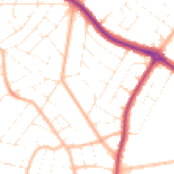
Daytime· 07:00 – 23:00
49.9dB

Night-time· 23:00 – 07:00
39.9dB