39 Haverstock Road, Bournemouth, BH9 3HQ
About 39 Haverstock Road
39 Haverstock Road is a three-bedroom detached house in Bournemouth (BH9 3HQ). It has a recorded floor area of 104 m² (around 1119 sq ft), construction records dating it to 1930-1949 and council tax band D. The latest certificate (September 2023) shows a D (score 56), a step below the typical UK home. When first surveyed in December 2008 the rating was E, the property has climbed 1 band since. Between certificates, lighting dropped from Average to Poor. The recommended improvements would push it to C (score 80). Period features are noted in the property record. Our model identifies extension potential, subject to local planning policy. The home occupies a corner plot.
Across 2007–2024, sale prices on this property compounded at 3.1% per year. On a £-per-square-foot basis, the last sale (£447/sq ft) was about 95.9% above the typical sold price in the postcode. Most recent transfer: April 2024 at £500,000.
What this property has
Inside
- Bedrooms3
- Bathrooms1
Outside
- Private gardenFront and rear
- Corner plotYes
Building
- Period featuresYes
- Extension potentialPossible
Everything you need to know about 39 Haverstock Road
The true value, the hidden risks and the full sale history, in one report.
Pick your report · every report is £14.99
One time fee only - money back guarantee

The data behind every report


Energy performance
EPC Rating
Property Improvements
Changes detected from historical EPC data
Heating controls upgraded for better temperature management
Hot water efficiency decreased
Window efficiency improved
More low energy lighting installed
Hot water efficiency improved
Roof insulation improved
Low energy lighting percentage decreased
Get a survey for this property
Level 2 HomeBuyer Report
We've checked 10 risk factors against the available data for this property and believe a Level 2 HomeBuyer Report could be a suitable option for you.
From £695 · Includes VAT
Planning history
39 Haverstock Road has no planning applications on record.
But the area is active
1 notable application nearby — larger schemes and conversions that could reshape the street. The report maps them all.
Sales history & valuation
Latest sale on 39 Haverstock Road was the highest on Land Registry record across the postcode.
£497,000
Modelled from EPC, postcode comparables and a sale-price growth of 3.1% per year over 17 years.
£500,000
Growth on file: 3.1% per year over 17 years.
Sales timeline
4 April 2024Most recent
£500,000
+65.0%over 12 years5 September 2011
£303,000
+1.0%over 3 years6 September 2007
£299,950
Median price across the last 5 sales in BH9 3HQ: £406,000 (2025–2019).
Nearby sales in BH9 3HQ
17 Haverstock Road, Bournemouth, BH9 3HQ
Sold Feb 2025
£406,00029 Haverstock Road, Bournemouth, BH9 3HQ
Sold May 2023
£475,00033 Haverstock Road, Bournemouth, BH9 3HQ
Sold Mar 2021
£452,00037 Haverstock Road, Bournemouth, BH9 3HQ
Sold Oct 2019
£380,00035 Haverstock Road, Bournemouth, BH9 3HQ
Sold May 2019
£400,000
Versus other Haverstock Road homes
On price per m², 39 Haverstock Road stands well clear of the street.
Price per m²
£4,808
Street avg £3,569
Floor Area
104 m²
Street avg 114 m²
Habitable Rooms
5 rooms
Street avg 6 rooms
CO₂ Emissions
5.3 t/year
Street avg 6.0 t/year
Everything you need to know about 39 Haverstock Road
The true value, the hidden risks and the full sale history, in one report.
Pick your report · every report is £14.99
One time fee only - money back guarantee
The data behind every report
Similar properties nearby
1 Haverstock Road
BH9 3HQ
1 Castle Lane West
BH9 3LJ
1 Franklin Road
BH9 3AY
1 Huntvale Road
BH9 3HW
1 Littlecroft Avenue
BH9 3HR
1 Forest View Close
BH9 3BJ
1 Iwerne Close
BH9 3PW
1 Knowlton Gardens
BH9 3RB
The neighbourhood at a glance
Daytime road noise here sits well below conversation level — a quiet pocket of the postcode.
Crime
4/mo
Steady year-on-year across the wider district.
Nearest stop
0.2 km
Haverstock Road — bus stop.
Closest school
0.3 km
St. Walburga's Catholic Primary School. 25 schools nearby.
Go deeper on the local area
A Local Area report breaks down crime, transport links, schools and air quality in depth.
Road noise across the postcode
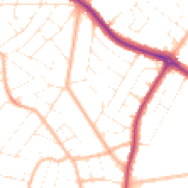
Daytime· 07:00 – 23:00
49.9dB

Night-time· 23:00 – 07:00
39.9dB