11 Brockenhurst Road, Bournemouth, BH9 3ER
About 11 Brockenhurst Road
11 Brockenhurst Road is a two-bedroom detached house in Bournemouth (BH9 3ER). It has a recorded floor area of 74 m² (around 797 sq ft), construction records dating it to 1930-1949 and council tax band D. The latest certificate (May 2023) shows a D (score 66), on the cusp of jumping into the C band. When first surveyed in October 2009 the rating was F, the property has climbed 2 bands since. Between certificates, window efficiency went from Average to Good, hot-water efficiency went from Very Poor to Good and lighting went from Poor to Very Good; while wall efficiency dropped from Good to Average and roof efficiency dropped from Very Good to Good. The recommended improvements would lift it to B (score 81), a 2-band jump. Other recorded features include a conservatory.
Across 2010–2023, sale prices on this property compounded at 5% per year. On a £-per-square-foot basis, the last sale (£483/sq ft) was about 118.6% above the typical sold price in the postcode. At 74 m² it's 20.4% smaller than the typical home in the postcode (93 m² median across 9 EPCs). Sold June 2023 for £385,000.
What this property has
Inside
- Bedrooms2
- Bathrooms1
- ConservatoryYes
Outside
- Private gardenYes
- ParkingOff road
Building
- Heating systemGas
- RefurbishedYes
Everything you need to know about 11 Brockenhurst Road
The true value, the hidden risks and the full sale history, in one report.
Pick your report · every report is £14.99
One time fee only - money back guarantee

The data behind every report


Energy performance
Recommended upgrades on file would lift this property by multiple EPC bands.
EPC Rating
Property Improvements
Changes detected from historical EPC data
Replaced storage heaters with gas boiler
Connected to mains gas supply
Heating controls upgraded for better temperature management
Hot water system upgraded
Window efficiency improved
More low energy lighting installed
Get a survey for this property
Level 2 HomeBuyer Report
We've checked 10 risk factors against the available data for this property and believe a Level 2 HomeBuyer Report could be a suitable option for you.
From £595 · Includes VAT
Planning history
11 Brockenhurst Road has no planning applications on record.
But the area is active
1 notable application nearby — larger schemes and conversions that could reshape the street. The report maps them all.
Sales history & valuation
11 Brockenhurst Road valuation sits well clear of the typical sold price in this postcode.
£393,000
Modelled from EPC, postcode comparables and a sale-price growth of 5.0% per year over 13 years.
£385,000
Growth on file: 5.0% per year over 13 years.
Sales timeline
26 June 2023Most recent
£385,000
+92.5%over 13 years22 February 2010
£200,000
Median price across the last 5 sales in BH9 3ER: £343,000 (2022–2016).
Nearby sales in BH9 3ER
4 Brockenhurst Road, Bournemouth, BH9 3ER
Sold Sept 2022
£390,00017 Brockenhurst Road, Bournemouth, BH9 3ER
Sold Nov 2020
£343,0003 Brockenhurst Road, Bournemouth, BH9 3ER
Sold Nov 2017
£355,0009 Brockenhurst Road, Bournemouth, BH9 3ER
Sold Dec 2016
£247,50020 Brockenhurst Road, Bournemouth, BH9 3ER
Sold Jul 2016
£263,000
Versus other Brockenhurst Road homes
On years held, 11 Brockenhurst Road runs well behind the street norm.
Price per m²
£5,203
Street avg £4,372
Floor Area
74 m²
Street avg 80 m²
Habitable Rooms
4 rooms
Street avg 4 rooms
CO₂ Emissions
3.0 t/year
Street avg 3.4 t/year
Everything you need to know about 11 Brockenhurst Road
The true value, the hidden risks and the full sale history, in one report.
Pick your report · every report is £14.99
One time fee only - money back guarantee
The data behind every report
Similar properties nearby
1 Camden Close
BH9 3BZ
1 Homeside Road
BH9 3EJ
1 Gunville Crescent
BH9 3PZ
1 Huntvale Road
BH9 3HW
1 Littlecroft Avenue
BH9 3HR
1 Franklin Road
BH9 3AY
1 Castle Lane West
BH9 3LJ
1 Forest View Close
BH9 3BJ
The neighbourhood at a glance
Daytime road noise here sits well below conversation level — a quiet pocket of the postcode.
Crime
4/mo
Steady year-on-year across the wider district.
Nearest stop
0.1 km
Brockenhurst Road — bus stop.
Closest school
0.2 km
St. Walburga's Catholic Primary School. 25 schools nearby.
Go deeper on the local area
A Local Area report breaks down crime, transport links, schools and air quality in depth.
Road noise across the postcode
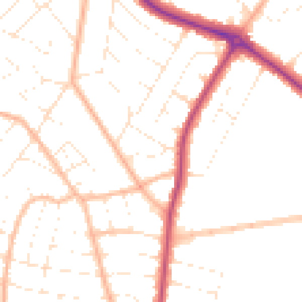
Daytime· 07:00 – 23:00
49.2dB

Night-time· 23:00 – 07:00
39.6dB