5 Carey Road, Bournemouth, BH9 2XB
About 5 Carey Road
5 Carey Road is a three-bedroom detached house in Bournemouth (BH9 2XB). It has a recorded floor area of 105 m² (around 1130 sq ft), construction records dating it to 1930-1949 and council tax band D. The latest certificate (March 2025) shows a C (score 69), just inside the C band. When first surveyed in January 2018 the rating was D, the property has climbed 1 band since. Between certificates, window efficiency dropped from Good to Average. The recommended improvements would push it to B (score 81).
On energy efficiency it sits in the top 10% of properties in this postcode. Most recent transfer was October 2025 at £465,000 — fresh data. Across 2020–2025, sale prices on this property compounded at 4.7% per year. On a £-per-square-foot basis, the last sale (£411/sq ft) was about 83.9% above the typical sold price in the postcode.
What this property has
Inside
- Bedrooms3
- Bathrooms1
Everything you need to know about 5 Carey Road
The true value, the hidden risks and the full sale history, in one report.
Pick your report · every report is £14.99
One time fee only - money back guarantee

The data behind every report


Energy performance
5 Carey Road ranks among the most efficient homes in the postcode for energy use.
EPC Rating
Property Improvements
Changes detected from historical EPC data
Heating controls upgraded for better temperature management
Get a survey for this property
Level 2 HomeBuyer Report
We've checked 10 risk factors against the available data for this property and believe a Level 2 HomeBuyer Report could be a suitable option for you.
From £695 · Includes VAT
Planning history
5 Carey Road has no planning applications on record.
But the area is active
71 notable applications nearby — larger schemes and conversions that could reshape the street. The report maps them all.
Sales history & valuation
5 Carey Road valuation sits well clear of the typical sold price in this postcode.
£450,000
Modelled from EPC, postcode comparables and a sale-price growth of 4.7% per year over 5 years.
£465,000
Growth on file: 4.7% per year over 5 years.
Sales timeline
9 October 2025Most recent
£465,000
+26.5%over 5 years19 August 2020
£367,500
Median price across the last 5 sales in BH9 2XB: £402,500 (2025–2019).
Nearby sales in BH9 2XB
Versus other Carey Road homes
5 Carey Road is notably below the street on years held.
Price per m²
£4,429
Street avg £2,966
Floor Area
105 m²
Street avg 104 m²
Habitable Rooms
5 rooms
Street avg 5 rooms
CO₂ Emissions
3.6 t/year
Street avg 5.2 t/year
Everything you need to know about 5 Carey Road
The true value, the hidden risks and the full sale history, in one report.
Pick your report · every report is £14.99
One time fee only - money back guarantee
The data behind every report
Similar properties nearby
1 Carey Road
BH9 2XB
1 Highfield Road
BH9 2SE
1 Marks Road
BH9 2XQ
1 Grenfell Road
BH9 2UD
1 Kemp Road
BH9 2PW
1 Lawford Rise, Wimborne Road
BH9 2BZ
1 Comber Road
BH9 2XG
1 Bentley Road
BH9 2UE
The neighbourhood at a glance
Crime
4/mo
Steady year-on-year across the wider district.
Nearest stop
0.2 km
Maclaren Road — bus stop.
Closest school
0.4 km
Winton Primary School. 23 schools nearby.
Go deeper on the local area
A Local Area report breaks down crime, transport links, schools and air quality in depth.
Road noise across the postcode
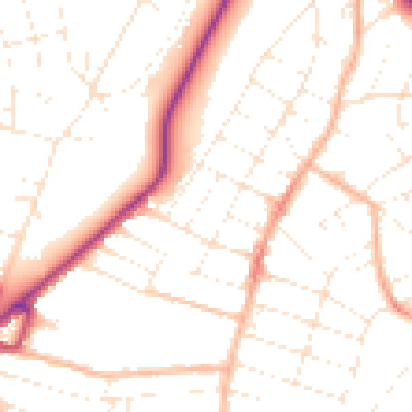
Daytime· 07:00 – 23:00
50.1dB

Night-time· 23:00 – 07:00
39.9dB