32 Endfield Road, Bournemouth, BH9 1TH
About 32 Endfield Road
32 Endfield Road is a three-bedroom detached house in Bournemouth (BH9 1TH). It has a recorded floor area of 108 m² (around 1157 sq ft), construction records dating it to 2007 onwards and council tax band D. The latest certificate (September 2009) shows a C (score 79), near the top of the C band. The recommended improvements would push it to B (score 81). The latest certificate is from September 2009, so improvements made since then won't be reflected.
Untraded for 16 years, with the last transfer in December 2009. That sale fell during the post-crash dip, which often skews comparisons against later neighbouring sales. Today's modelled estimate of £405,000 sits 53.4% above the 2009 sale of £264,000. At 108 m² it's 27.8% larger than the typical home in the postcode (84 m² median across 18 EPCs).
What this property has
Inside
- Bedrooms3
- Bathrooms3
Everything you need to know about 32 Endfield Road
The true value, the hidden risks and the full sale history, in one report.
Pick your report · every report is £14.99
One time fee only - money back guarantee

The data behind every report


Energy performance
32 Endfield Road's EPC is over a decade old — improvements since won't be reflected.
EPC Expired
This certificate is over 10 years old and is no longer valid.Expired 01 Sept 2019
EPC Rating
Get a survey for this property
Level 2 HomeBuyer Report
We've checked 10 risk factors against the available data for this property and believe a Level 2 HomeBuyer Report could be a suitable option for you.
From £695 · Includes VAT
Planning history
32 Endfield Road has no planning applications on record.
But the area is active
78 notable applications nearby — larger schemes and conversions that could reshape the street. The report maps them all.
Sales history & valuation
The latest sale fell during the post-2008 dip, often a low-water mark in price comparisons.
£405,000
Modelled from EPC, postcode comparables.
£264,000
Recorded with HM Land Registry.
Sales timeline
22 December 2009Most recent
£264,000
Median price across the last 5 sales in BH9 1TH: £358,000 (2025–2021).
Nearby sales in BH9 1TH
16 Endfield Road, Bournemouth, BH9 1TH
Sold Mar 2025
£390,000Ground Floor Flat, 3 Endfield Road, Bournemouth, BH9 1TH
Sold Nov 2021
£15,00022 Endfield Road, Bournemouth, BH9 1TH
Sold Apr 2021
£326,00010 Endfield Road, Bournemouth, BH9 1TH
Sold Feb 2021
£399,00034 Endfield Road, Bournemouth, BH9 1TH
Sold Jan 2021
£358,000
Versus other Endfield Road homes
On years held, 32 Endfield Road stands well clear of the street.
Price per m²
£2,456
Street avg £3,433
Floor Area
108 m²
Street avg 92 m²
Habitable Rooms
5 rooms
Street avg 5 rooms
CO₂ Emissions
2.2 t/year
Street avg 3.8 t/year
Everything you need to know about 32 Endfield Road
The true value, the hidden risks and the full sale history, in one report.
Pick your report · every report is £14.99
One time fee only - money back guarantee
The data behind every report
Similar properties nearby
The neighbourhood at a glance
Daytime road noise here sits well below conversation level — a quiet pocket of the postcode.
Crime
4/mo
Steady year-on-year across the wider district.
Nearest stop
0.3 km
Garth Road — bus stop.
Closest school
0.5 km
St. Walburga's Catholic Primary School. 22 schools nearby.
Go deeper on the local area
A Local Area report breaks down crime, transport links, schools and air quality in depth.
Road noise across the postcode
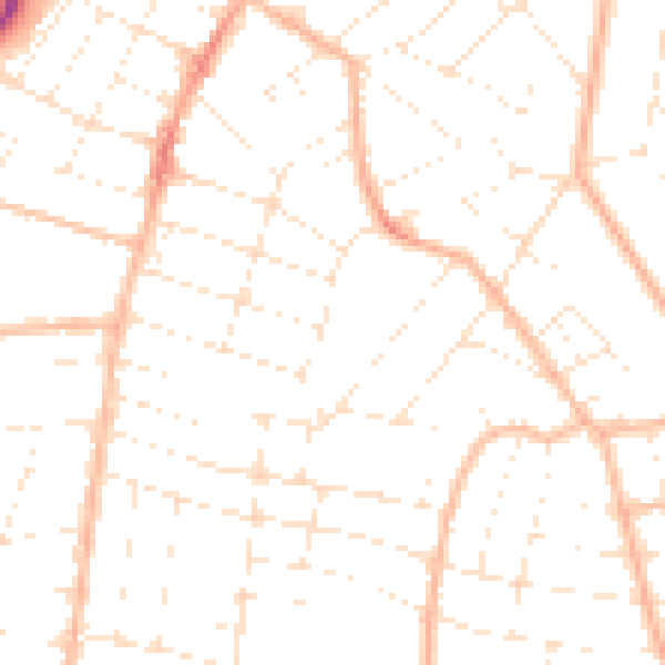
Daytime· 07:00 – 23:00
48.6dB

Night-time· 23:00 – 07:00
37.5dB