4 Easter Road, Bournemouth, BH9 1SW
About 4 Easter Road
4 Easter Road is a semi-detached house in Bournemouth (BH9 1SW). It has a recorded floor area of 77 m² (around 829 sq ft), construction records dating it to 1900-1929 and council tax band C. The latest certificate (October 2024) shows a D (score 65), on the cusp of jumping into the C band. The recommended improvements would lift it to B (score 85), a 2-band jump.
Untraded for 27 years, with the last transfer in February 1999. Only one transfer is on record with HM Land Registry, suggesting it has stayed in the same hands for a long time. Today's modelled estimate of £306,000 sits 357.1% above the 1999 sale of £66,950. On a £-per-square-foot basis, the last sale (£81/sq ft) was about 61.3% below the postcode norm. At 77 m² it's 20.1% smaller than the typical home in the postcode (96 m² median across 20 EPCs).
Everything you need to know about 4 Easter Road
The true value, the hidden risks and the full sale history, in one report.
Pick your report · every report is £14.99
One time fee only - money back guarantee

The data behind every report


Energy performance
Recommended upgrades on file would lift this property by multiple EPC bands.
EPC Rating
Get a survey for this property
Level 3 Building Survey
Because the property was built before 1919, we believe a Level 3 building survey should be considered.
From £955 · Includes VAT
Planning history
4 Easter Road has no planning applications on record.
But the area is active
78 notable applications nearby — larger schemes and conversions that could reshape the street. The report maps them all.
Sales history & valuation
4 Easter Road's modelled value sits at over four times its earliest registered sale price (1999).
£306,000
Modelled from EPC, postcode comparables.
£66,950
Recorded with HM Land Registry.
Sales timeline
15 February 1999Most recent
£66,950
Median price across the last 5 sales in BH9 1SW: £363,000 (2024–2021).
Nearby sales in BH9 1SW
Versus other Easter Road homes
4 Easter Road is notably below the street on price per m².
Price per m²
£869
Street avg £2,888
Floor Area
77 m²
Street avg 100 m²
Habitable Rooms
4 rooms
Street avg 5 rooms
CO₂ Emissions
3.3 t/year
Street avg 4.3 t/year
Everything you need to know about 4 Easter Road
The true value, the hidden risks and the full sale history, in one report.
Pick your report · every report is £14.99
One time fee only - money back guarantee
The data behind every report
Similar properties nearby
The neighbourhood at a glance
Daytime road noise here sits well below conversation level — a quiet pocket of the postcode.
Crime
4/mo
Steady year-on-year across the wider district.
Nearest stop
0.2 km
Charminster Avenue Parade — bus stop.
Closest school
0.2 km
St. Walburga's Catholic Primary School. 25 schools nearby.
Go deeper on the local area
A Local Area report breaks down crime, transport links, schools and air quality in depth.
Road noise across the postcode
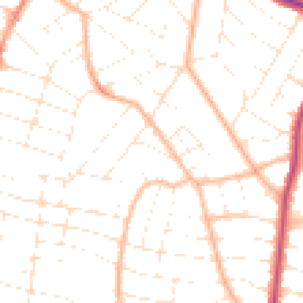
Daytime· 07:00 – 23:00
49.0dB

Night-time· 23:00 – 07:00
38.4dB