44 Bingham Road, Bournemouth, BH9 1BT
About 44 Bingham Road
44 Bingham Road is a one-bedroom detached house in Bournemouth (BH9 1BT). It has a recorded floor area of 54 m² (around 581 sq ft), construction records dating it to 1900-1929 and council tax band A. The latest certificate (January 2023) shows a D (score 68), on the cusp of jumping into the C band. The rating has held steady at D across 2 certificates since February 2013. Between certificates, lighting went from Average to Very Good. The recommended improvements would push it to C (score 75). At 54 m² this is the 3rd smallest of 7 units on EPC record in the building, where floor areas span 51–111 m². The building's EPC ratings span F to C across 7 units on file.
It hasn't traded since November 2007, a hold of 19 years that's notably long for the area. That sale landed at the peak of the pre-credit-crunch market, which is a useful reference point when interpreting the price. Today's modelled estimate of £180,000 is 32.4% above the 2007 sale price. On a £-per-square-foot basis, the last sale (£234/sq ft) was about 51.4% above the typical sold price in the postcode. At 54 m² it's 28.5% smaller than the typical home in the postcode (76 m² median across 6 EPCs).
What this property has
Inside
- Bedrooms1
Outside
- Private gardenYes
- ParkingOff road
Building
- Central heatingYes
- RefurbishedYes
Everything you need to know about 44 Bingham Road
The true value, the hidden risks and the full sale history, in one report.
Pick your report · every report is £14.99
One time fee only - money back guarantee

The data behind every report


Energy performance
EPC Rating
Property Improvements
Changes detected from historical EPC data
Heating controls upgraded for better temperature management
More low energy lighting installed
Get a survey for this property
Level 3 Building Survey
Because the property was built before 1919, we believe a Level 3 building survey should be considered.
From £820 · Includes VAT
Planning history
44 Bingham Road has no planning applications on record.
But the area is active
78 notable applications nearby — larger schemes and conversions that could reshape the street. The report maps them all.
Sales history & valuation
The latest sale landed at the peak of the pre-credit-crunch market — a high-water reference point.
£180,000
Modelled from EPC, postcode comparables.
£136,000
Recorded with HM Land Registry.
Sales timeline
23 November 2007Most recent
£136,000
Median price across the last 5 sales in BH9 1BT: £187,000 (2022–2013).
Nearby sales in BH9 1BT
Versus other Bingham Road homes
44 Bingham Road outperforms the street on years held by a wide margin.
Price per m²
£2,519
Street avg £2,509
Floor Area
54 m²
Street avg 53 m²
Habitable Rooms
3 rooms
Street avg 3 rooms
CO₂ Emissions
2.2 t/year
Street avg 5.6 t/year
Everything you need to know about 44 Bingham Road
The true value, the hidden risks and the full sale history, in one report.
Pick your report · every report is £14.99
One time fee only - money back guarantee
The data behind every report
Similar properties nearby
The neighbourhood at a glance
Daytime road noise here sits well below conversation level — a quiet pocket of the postcode.
Crime
4/mo
Steady year-on-year across the wider district.
Nearest stop
0.3 km
Stokewood Road — bus stop.
Closest school
0.3 km
St Luke's Church of England Primary School. 26 schools nearby.
Go deeper on the local area
A Local Area report breaks down crime, transport links, schools and air quality in depth.
Road noise across the postcode
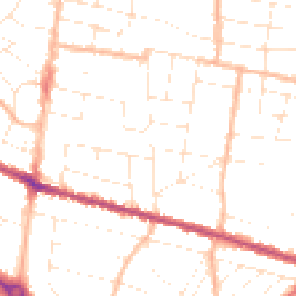
Daytime· 07:00 – 23:00
49.1dB

Night-time· 23:00 – 07:00
38.7dB