26a, Alma Road, Bournemouth, BH9 1AN
About 26a
26a is a detached house in Bournemouth (BH9 1AN). It has a recorded floor area of 86 m² (around 926 sq ft) and construction records dating it to 1967-1975. The latest certificate (August 2020) shows a C (score 75), near the top of the C band. The rating has held steady at C across 2 certificates since September 2010. Between certificates, roof efficiency went from Good to Very Good; while wall efficiency dropped from Good to Average and lighting dropped from Very Good to Good. At 86 m² this is the 28th smallest of 44 units on EPC record in the building, where floor areas span 31–130 m². The building's EPC ratings span F to B across 44 units on file.
At 86 m² the property is well over the postcode median (63 m² across 43 EPCs), placing it in the larger end of the local stock.
Everything you need to know about 26a
The true value, the hidden risks and the full sale history, in one report.
Pick your report · every report is £14.99
One time fee only - money back guarantee

The data behind every report


Energy performance
EPC Rating
Property Improvements
Changes detected from historical EPC data
Roof insulation improved
Get a survey for this property
Level 2 HomeBuyer Report
We've checked 10 risk factors against the available data for this property and believe a Level 2 HomeBuyer Report could be a suitable option for you.
From £545 · Includes VAT
Planning history
26a has no planning applications on record.
But the area is active
78 notable applications nearby — larger schemes and conversions that could reshape the street. The report maps them all.
Sales history & valuation
26a has no Land Registry sales on file, suggesting it has stayed in the same hands since registration began.
£243,000
Modelled from EPC, postcode comparables.
No sales recorded with HM Land Registry
That can mean the property has never traded since the registry began publishing in 1995, was a new build that hasn't been registered yet, or is held in the same hands long-term.
Median price across the last 5 sales in BH9 1AN: £330,000 (2024–2022).
Nearby sales in BH9 1AN
Alma Court, Flat 4, 84 Alma Road, Bournemouth, BH9 1AN
Sold Jul 2024
£157,000Flat 1, 28 Alma Road, Bournemouth, BH9 1AN
Sold Mar 2024
£1,250,00082a, Alma Road, Bournemouth, BH9 1AN
Sold May 2023
£200,00018 Alma Road, Bournemouth, BH9 1AN
Sold Mar 2023
£330,00032 Alma Road, Bournemouth, BH9 1AN
Sold Aug 2022
£510,000
Versus other Alma Road homes
26a outperforms the street on floor area by a wide margin.
EPC Rating
75 (C)
Street avg 68 (D)
Floor Area
86 m²
Street avg 54 m²
CO₂ Emissions
2.3 t/year
Street avg 2.3 t/year
Habitable Rooms
4 rooms
Street avg 3 rooms
Everything you need to know about 26a
The true value, the hidden risks and the full sale history, in one report.
Pick your report · every report is £14.99
One time fee only - money back guarantee
The data behind every report
Similar properties nearby
The neighbourhood at a glance
Crime
4/mo
Steady year-on-year across the wider district.
Nearest stop
0.2 km
Stokewood Road — bus stop.
Closest school
0.6 km
St Luke's Church of England Primary School. 26 schools nearby.
Go deeper on the local area
A Local Area report breaks down crime, transport links, schools and air quality in depth.
Road noise across the postcode
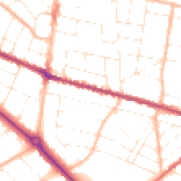
Daytime· 07:00 – 23:00
50.5dB

Night-time· 23:00 – 07:00
40.3dB