91 Alma Road, Bournemouth, BH9 1AE
About 91 Alma Road
91 Alma Road is a four-bedroom detached house in Bournemouth (BH9 1AE). It has a recorded floor area of 164 m² (around 1765 sq ft), construction records dating it to 1930-1949 and council tax band D. Period features are noted in the property record. It has already been extended once and our model flags further extension potential, a sign of buyer flexibility. The latest certificate (January 2021) shows a D (score 67), on the cusp of jumping into the C band. The recommended improvements would push it to C (score 78).
At 164 m² the property is well over the postcode median (76 m² across 36 EPCs), placing it in the larger end of the local stock. Today's modelled estimate of £448,000 is 24.4% above the 2021 sale price. On a £-per-square-foot basis, the last sale (£204/sq ft) was about 22.1% above the typical sold price in the postcode. Last sale on file: £360,000 in June 2021. That sale was during the post-pandemic price surge, when transactions cleared materially above pre-2020 trend.
What this property has
Inside
- Bedrooms4
- Bathrooms2
- Dining roomYes
Outside
- ParkingOff road
Building
- Period featuresYes
- Previously extendedYes
- Extension potentialPossible
Everything you need to know about 91 Alma Road
The true value, the hidden risks and the full sale history, in one report.
Pick your report · every report is £14.99
One time fee only - money back guarantee

The data behind every report


Energy performance
EPC Rating
Get a survey for this property
Level 2 HomeBuyer Report
We've checked 10 risk factors against the available data for this property and believe a Level 2 HomeBuyer Report could be a suitable option for you.
From £695 · Includes VAT
Planning history
91 Alma Road has no planning applications on record.
But the area is active
78 notable applications nearby — larger schemes and conversions that could reshape the street. The report maps them all.
Sales history & valuation
The latest sale landed in the post-pandemic price surge — useful context when reading the figure.
£448,000
Modelled from EPC, postcode comparables.
£360,000
Recorded with HM Land Registry.
Sales timeline
6 June 2021Most recent
£360,000
Median price across the last 5 sales in BH9 1AE: £310,000 (2025–2022).
Nearby sales in BH9 1AE
Rossland House, 2, 119 Alma Road, Bournemouth, BH9 1AE
Sold Jun 2025
£310,000Rossland House, 1, 119 Alma Road, Bournemouth, BH9 1AE
Sold Jun 2025
£308,00087 Alma Road, Bournemouth, BH9 1AE
Sold May 2024
£455,00079 Alma Road, Bournemouth, BH9 1AE
Sold May 2024
£300,00093 Alma Road, Bournemouth, BH9 1AE
Sold Nov 2022
£460,000
Versus other Alma Road homes
91 Alma Road outperforms the street on floor area by a wide margin.
Price per m²
£2,195
Street avg £2,613
Floor Area
164 m²
Street avg 131 m²
Habitable Rooms
6 rooms
Street avg 6 rooms
CO₂ Emissions
5.8 t/year
Street avg 5.7 t/year
Everything you need to know about 91 Alma Road
The true value, the hidden risks and the full sale history, in one report.
Pick your report · every report is £14.99
One time fee only - money back guarantee
The data behind every report
Similar properties nearby
The neighbourhood at a glance
Daytime road noise here sits well below conversation level — a quiet pocket of the postcode.
Crime
4/mo
Steady year-on-year across the wider district.
Nearest stop
0.0 km
Heron Court Road — bus stop.
Closest school
0.6 km
St Luke's Church of England Primary School. 27 schools nearby.
Go deeper on the local area
A Local Area report breaks down crime, transport links, schools and air quality in depth.
Road noise across the postcode
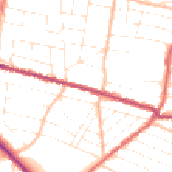
Daytime· 07:00 – 23:00
49.9dB

Night-time· 23:00 – 07:00
40.0dB