85 Alma Road, Bournemouth, BH9 1AE
About 85 Alma Road
85 Alma Road is a detached house in Bournemouth (BH9 1AE). It has a recorded floor area of 136 m² (around 1464 sq ft), construction records dating it to 1930-1949 and council tax band D. The latest certificate (October 2021) shows a D (score 56), a step below the typical UK home. The rating has held steady at D across 2 certificates since July 2011. Between certificates, roof efficiency dropped from Good to Very Poor. The recommended improvements would push it to C (score 73).
At 136 m² the property is well over the postcode median (76 m² across 36 EPCs), placing it in the larger end of the local stock. Across 1999–2018, sale prices on this property compounded at 7% per year. On a £-per-square-foot basis, the last sale (£283/sq ft) was about 69.7% above the typical sold price in the postcode. Most recent transfer: July 2018 at £415,000.
Everything you need to know about 85 Alma Road
The true value, the hidden risks and the full sale history, in one report.
Pick your report · every report is £14.99
One time fee only - money back guarantee

The data behind every report


Energy performance
85 Alma Road's carbon output runs well above what efficient homes in the postcode produce.
EPC Rating
Property Improvements
Changes detected from historical EPC data
Windows upgraded, improving insulation
Get a survey for this property
Level 2 HomeBuyer Report
We've checked 10 risk factors against the available data for this property and believe a Level 2 HomeBuyer Report could be a suitable option for you.
From £695 · Includes VAT
Planning history
85 Alma Road has no planning applications on record.
But the area is active
78 notable applications nearby — larger schemes and conversions that could reshape the street. The report maps them all.
Sales history & valuation
Sale price has grown by over 3x since 1999.
£437,000
Modelled from EPC, postcode comparables and a sale-price growth of 7.0% per year over 19 years.
£415,000
Growth on file: 7.0% per year over 19 years.
Sales timeline
22 July 2018Most recent
£415,000
+48.2%over 11 years12 July 2007
£280,000
+147.8%over 8 years31 May 1999
£113,000
Median price across the last 5 sales in BH9 1AE: £310,000 (2025–2022).
Nearby sales in BH9 1AE
Rossland House, 2, 119 Alma Road, Bournemouth, BH9 1AE
Sold Jun 2025
£310,000Rossland House, 1, 119 Alma Road, Bournemouth, BH9 1AE
Sold Jun 2025
£308,00087 Alma Road, Bournemouth, BH9 1AE
Sold May 2024
£455,00079 Alma Road, Bournemouth, BH9 1AE
Sold May 2024
£300,00093 Alma Road, Bournemouth, BH9 1AE
Sold Nov 2022
£460,000
Versus other Alma Road homes
Price per m² for 85 Alma Road runs comfortably ahead of the street norm.
Price per m²
£3,051
Street avg £2,518
Floor Area
136 m²
Street avg 134 m²
Habitable Rooms
7 rooms
Street avg 6 rooms
CO₂ Emissions
6.8 t/year
Street avg 5.6 t/year
Everything you need to know about 85 Alma Road
The true value, the hidden risks and the full sale history, in one report.
Pick your report · every report is £14.99
One time fee only - money back guarantee
The data behind every report
Similar properties nearby
The neighbourhood at a glance
Daytime road noise here sits well below conversation level — a quiet pocket of the postcode.
Crime
4/mo
Steady year-on-year across the wider district.
Nearest stop
0.0 km
Heron Court Road — bus stop.
Closest school
0.6 km
St Luke's Church of England Primary School. 27 schools nearby.
Go deeper on the local area
A Local Area report breaks down crime, transport links, schools and air quality in depth.
Road noise across the postcode
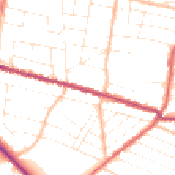
Daytime· 07:00 – 23:00
49.9dB

Night-time· 23:00 – 07:00
40.0dB