115b, Alma Road, Bournemouth, BH9 1AE
About 115b
115b is a detached house in Bournemouth (BH9 1AE). It has a recorded floor area of 67 m² (around 721 sq ft) and construction records dating it to 1930-1949. At 67 m² this is the 13th smallest of 37 units on EPC record in the building, where floor areas span 48–188 m². The building's EPC ratings span F to C, with this unit at the top. The latest certificate (October 2019) shows a C (score 74). The rating has held steady at C across 2 certificates since August 2009. Between certificates, window efficiency dropped from Good to Average.
At 67 m² it's 21.6% smaller than the typical home in the postcode (86 m² median across 36 EPCs). Its energy rating outperforms most of the postcode (better than 72% of similar EPCs).
Everything you need to know about 115b
The true value, the hidden risks and the full sale history, in one report.
Pick your report · every report is £14.99
One time fee only - money back guarantee

The data behind every report


Energy performance
EPC Rating
Get a survey for this property
Level 2 HomeBuyer Report
We've checked 10 risk factors against the available data for this property and believe a Level 2 HomeBuyer Report could be a suitable option for you.
From £545 · Includes VAT
Planning history
115b has no planning applications on record.
But the area is active
78 notable applications nearby — larger schemes and conversions that could reshape the street. The report maps them all.
Sales history & valuation
115b has no Land Registry sales on file, suggesting it has stayed in the same hands since registration began.
£283,000
Modelled from EPC, postcode comparables.
No sales recorded with HM Land Registry
That can mean the property has never traded since the registry began publishing in 1995, was a new build that hasn't been registered yet, or is held in the same hands long-term.
Median price across the last 5 sales in BH9 1AE: £310,000 (2025–2022).
Nearby sales in BH9 1AE
Rossland House, 2, 119 Alma Road, Bournemouth, BH9 1AE
Sold Jun 2025
£310,000Rossland House, 1, 119 Alma Road, Bournemouth, BH9 1AE
Sold Jun 2025
£308,00087 Alma Road, Bournemouth, BH9 1AE
Sold May 2024
£455,00079 Alma Road, Bournemouth, BH9 1AE
Sold May 2024
£300,00093 Alma Road, Bournemouth, BH9 1AE
Sold Nov 2022
£460,000
Versus other Alma Road homes
On co₂ emissions, 115b stands well clear of the street.
EPC Rating
74 (C)
Street avg 59 (D)
Floor Area
67 m²
Street avg 72 m²
CO₂ Emissions
2.0 t/year
Street avg 3.8 t/year
Habitable Rooms
3 rooms
Street avg 3 rooms
Everything you need to know about 115b
The true value, the hidden risks and the full sale history, in one report.
Pick your report · every report is £14.99
One time fee only - money back guarantee
The data behind every report
Similar properties nearby
The neighbourhood at a glance
Daytime road noise here sits well below conversation level — a quiet pocket of the postcode.
Crime
4/mo
Steady year-on-year across the wider district.
Nearest stop
0.0 km
Heron Court Road — bus stop.
Closest school
0.6 km
St Luke's Church of England Primary School. 27 schools nearby.
Go deeper on the local area
A Local Area report breaks down crime, transport links, schools and air quality in depth.
Road noise across the postcode
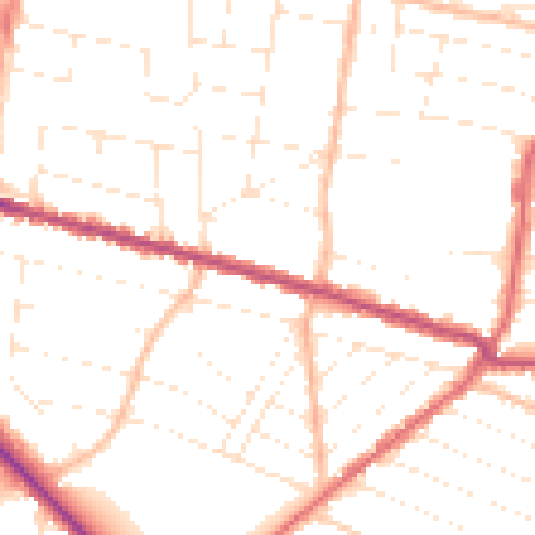
Daytime· 07:00 – 23:00
49.9dB

Night-time· 23:00 – 07:00
40.0dB