47a, Alma Road, Bournemouth, BH9 1AB
About 47a
47a is a two-bedroom detached house in Bournemouth (BH9 1AB). It has a recorded floor area of 55 m² (around 587 sq ft) and council tax band C. The latest certificate (February 2011) shows a C (score 79), near the top of the C band. The recommended improvements would push it to B (score 81). The latest certificate is from February 2011, so improvements made since then won't be reflected.
Across 2011–2021, sale prices on this property compounded at 3.2% per year. Today's modelled estimate of £262,000 is 11.5% above the 2021 sale price. On a £-per-square-foot basis, the last sale (£400/sq ft) was about 93.5% above the typical sold price in the postcode. Sold January 2021 for £235,000. That sale was during the post-pandemic price surge, when transactions cleared materially above pre-2020 trend.
What this property has
Inside
- Bedrooms2
- Bathrooms1
- Open-plan layoutYes
Outside
- Private gardenSouth-facing
- ParkingAllocated
Everything you need to know about 47a
The true value, the hidden risks and the full sale history, in one report.
Pick your report · every report is £14.99
One time fee only - money back guarantee

The data behind every report


Energy performance
47a's EPC is over a decade old — improvements since won't be reflected.
EPC Expired
This certificate is over 10 years old and is no longer valid.Expired 15 Feb 2021
EPC Rating
Get a survey for this property
Level 2 HomeBuyer Report
We've checked 10 risk factors against the available data for this property and believe a Level 2 HomeBuyer Report could be a suitable option for you.
From £545 · Includes VAT
Planning history
47a has no planning applications on record.
But the area is active
78 notable applications nearby — larger schemes and conversions that could reshape the street. The report maps them all.
Sales history & valuation
The latest sale landed in the post-pandemic price surge — useful context when reading the figure.
£262,000
Modelled from EPC, postcode comparables and a sale-price growth of 3.2% per year over 9 years.
£235,000
Growth on file: 3.2% per year over 9 years.
Sales timeline
22 January 2021Most recent
£235,000
+34.3%over 9 years23 October 2011
£175,000
Median price across the last 5 sales in BH9 1AB: £222,125 (2022–2015).
Nearby sales in BH9 1AB
Versus other Alma Road homes
47a outperforms the street on price per m² by a wide margin.
Price per m²
£4,307
Street avg £2,753
Floor Area
55 m²
Street avg 86 m²
CO₂ Emissions
1.6 t/year
Street avg 3.2 t/year
Years Held
5 years
Street avg 14 years
Everything you need to know about 47a
The true value, the hidden risks and the full sale history, in one report.
Pick your report · every report is £14.99
One time fee only - money back guarantee
The data behind every report
Similar properties nearby
The neighbourhood at a glance
Crime
4/mo
Steady year-on-year across the wider district.
Nearest stop
0.1 km
Winton Banks — bus stop.
Closest school
0.5 km
St Luke's Church of England Primary School. 26 schools nearby.
Go deeper on the local area
A Local Area report breaks down crime, transport links, schools and air quality in depth.
Road noise across the postcode
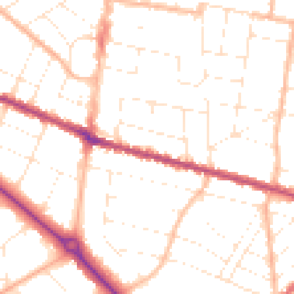
Daytime· 07:00 – 23:00
50.5dB

Night-time· 23:00 – 07:00
40.1dB