17a, Alma Road, Bournemouth, BH9 1AB
About 17a
17a is a detached house in Bournemouth (BH9 1AB). It has a recorded floor area of 51 m² (around 549 sq ft) and construction records dating it to 1900-1929. At 51 m² this is the 17th smallest of 42 units on EPC record in the building, where floor areas span 31–128 m². The building's EPC ratings span F to B across 42 units on file. The latest certificate (March 2015) shows a D (score 63), on the cusp of jumping into the C band. The recommended improvements would push it to C (score 74). The latest certificate is from March 2015, so improvements made since then won't be reflected.
Sold July 2021 for £163,000. Across the public record there are 5 sales, relatively high churn for a single property. That sale was during the post-pandemic price surge, when transactions cleared materially above pre-2020 trend. Across 1998–2021, sale prices on this property compounded at 5.6% per year. On a £-per-square-foot basis, the last sale (£297/sq ft) was about 43.3% above the typical sold price in the postcode.
Everything you need to know about 17a
The true value, the hidden risks and the full sale history, in one report.
Pick your report · every report is £14.99
One time fee only - money back guarantee

The data behind every report


Energy performance
17a's EPC is over a decade old — improvements since won't be reflected.
EPC Expired
This certificate is over 10 years old and is no longer valid.Expired 13 Mar 2025
EPC Rating
Get a survey for this property
Level 3 Building Survey
Because the property was built before 1919, we believe a Level 3 building survey should be considered.
From £820 · Includes VAT
Planning history
17a has no planning applications on record.
But the area is active
78 notable applications nearby — larger schemes and conversions that could reshape the street. The report maps them all.
Sales history & valuation
17a has more than tripled in price since its earliest registered sale in 1998.
£178,000
Modelled from EPC, postcode comparables and a sale-price growth of 5.6% per year over 23 years.
£163,000
Growth on file: 5.6% per year over 23 years.
Sales timeline
22 July 2021Most recent
£163,000
+40.5%over 7 years12 December 2013
£116,000
+40.6%over 11 years16 May 2002
£82,500
+40.4%over 1 year31 May 2000
£58,750
+22.4%over 1 year18 December 1998
£48,000
Median price across the last 5 sales in BH9 1AB: £235,000 (2022–2015).
Nearby sales in BH9 1AB
Versus other Alma Road homes
On years held, 17a runs well behind the street norm.
Price per m²
£3,196
Street avg £2,442
Floor Area
51 m²
Street avg 51 m²
Habitable Rooms
3 rooms
Street avg 2 rooms
CO₂ Emissions
2.5 t/year
Street avg 2.4 t/year
Everything you need to know about 17a
The true value, the hidden risks and the full sale history, in one report.
Pick your report · every report is £14.99
One time fee only - money back guarantee
The data behind every report
Similar properties nearby
The neighbourhood at a glance
Crime
4/mo
Steady year-on-year across the wider district.
Nearest stop
0.1 km
Winton Banks — bus stop.
Closest school
0.5 km
St Luke's Church of England Primary School. 26 schools nearby.
Go deeper on the local area
A Local Area report breaks down crime, transport links, schools and air quality in depth.
Road noise across the postcode
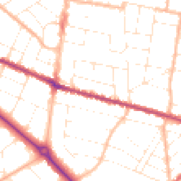
Daytime· 07:00 – 23:00
50.5dB

Night-time· 23:00 – 07:00
40.1dB