Flat A, 5 Alma Road, Bournemouth, BH9 1AA
About Flat A
Flat A is a detached house in Bournemouth (BH9 1AA). It has a recorded floor area of 65 m² (around 700 sq ft) and construction records dating it to 1930-1949. The latest certificate (March 2024) shows a C (score 74). The rating has held steady at C across 2 certificates since July 2013. Between certificates, lighting went from Good to Very Good; while wall efficiency dropped from Good to Average.
One planning record on file: HMO conversion approved in 2021. Past consents include HMO conversion, meaningful when judging how the property has evolved. Today's modelled estimate of £215,000 is 10.3% above the 2023 sale price. On a £-per-square-foot basis, the last sale (£279/sq ft) was about 166.7% above the typical sold price in the postcode. Sold June 2023 for £194,950.
Everything you need to know about Flat A
The true value, the hidden risks and the full sale history, in one report.
Pick your report · every report is £14.99
One time fee only - money back guarantee

The data behind every report


Energy performance
EPC Rating
Property Improvements
Changes detected from historical EPC data
More low energy lighting installed
Get a survey for this property
Level 2 HomeBuyer Report
We've checked 10 risk factors against the available data for this property and believe a Level 2 HomeBuyer Report could be a suitable option for you.
From £545 · Includes VAT
Planning history
1 application on record at Flat A, 5 Alma Road, Bournemouth, BH9 1AA
- Jan 2021HMOAmendmentOutcome in report
Application for a Lawful Development Certificate for an existing use of the First Floor Flat as a Class C4 HMO
Retrospective- Documents
- 5 docs on file
- Reference
- 7-2020-7993-B
Unlock Flat A, 5 Alma Road, Bournemouth, BH9 1AA's full planning history
You're seeing the shape of it. The report has the substance.
- Every decision — granted, refused or withdrawn (1 on record)
- All 1 application on this property in full, plus 78 notable nearby
- The 5 documents, officer reports & conditions
- What the pattern means for extending or converting here
One time fee only - money back guarantee
Sales history & valuation
Flat A valuation sits well clear of the typical sold price in this postcode.
£215,000
Modelled from EPC, postcode comparables.
£194,950
Recorded with HM Land Registry.
Sales timeline
29 June 2023Most recent
£194,950
Median price across the last 5 sales in BH9 1AA: £245,000 (2022–2014).
Versus other Alma Road homes
Price per m² for Flat A runs comfortably ahead of the street norm.
Price per m²
£2,999
Street avg £1,639
Floor Area
65 m²
Street avg 72 m²
Habitable Rooms
3 rooms
Street avg 3 rooms
CO₂ Emissions
1.9 t/year
Street avg 3.0 t/year
Everything you need to know about Flat A
The true value, the hidden risks and the full sale history, in one report.
Pick your report · every report is £14.99
One time fee only - money back guarantee
The data behind every report
Similar properties nearby
84b, Ground Floor Flat, Alma Road
BH9 1AN
1b, Flat 2, Cardigan Road
BH9 1BJ
2 4, Flat 2, Maxwell Road
BH9 1DQ
84b, First Floor Flat, Alma Road
BH9 1AN
2 4, Flat 1, Maxwell Road
BH9 1DQ
84c, First Floor Flat, Alma Road
BH9 1AN
9a, First Floor Flat, Murley Road
BH9 1NS
84a, First Floor Flat, Alma Road
BH9 1AN
The neighbourhood at a glance
Crime
4/mo
Steady year-on-year across the wider district.
Nearest stop
0.0 km
Winton Banks — bus stop.
Closest school
0.6 km
St Luke's Church of England Primary School. 26 schools nearby.
Go deeper on the local area
A Local Area report breaks down crime, transport links, schools and air quality in depth.
Road noise across the postcode
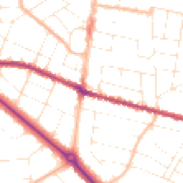
Daytime· 07:00 – 23:00
50.4dB

Night-time· 23:00 – 07:00
40.1dB