11 Alma Road, Bournemouth, BH9 1AA
About 11 Alma Road
11 Alma Road is a detached house in Bournemouth (BH9 1AA). It has a recorded floor area of 161 m² (around 1733 sq ft), construction records dating it to 1900-1929 and council tax band A. The latest certificate (July 2019) shows a C (score 70). When first surveyed in September 2009 the rating was D, the property has climbed 1 band since. Between certificates, lighting went from Good to Very Good; while wall efficiency dropped from Good to Average and roof efficiency dropped from Good to Very Poor.
Across 2003–2021, sale prices on this property compounded at 6.1% per year. Today's modelled estimate of £466,000 is 13.7% below the 2021 sale of £540,000, a rare downward gap that often correlates with deferred maintenance or unfinished works. On a £-per-square-foot basis, the last sale (£312/sq ft) was about 221.5% above the typical sold price in the postcode. At 161 m² the property is well over the postcode median (65 m² across 11 EPCs), placing it in the larger end of the local stock. Last sale on file: £540,000 in September 2021. That sale was during the post-pandemic price surge, when transactions cleared materially above pre-2020 trend.
Everything you need to know about 11 Alma Road
The true value, the hidden risks and the full sale history, in one report.
Pick your report · every report is £14.99
One time fee only - money back guarantee

The data behind every report


Energy performance
EPC Rating
Property Improvements
Changes detected from historical EPC data
Windows upgraded, improving insulation
More low energy lighting installed
Get a survey for this property
Level 3 Building Survey
Because the property was built before 1919, we believe a Level 3 building survey should be considered.
From £1,020 · Includes VAT
Planning history
11 Alma Road has no planning applications on record.
But the area is active
78 notable applications nearby — larger schemes and conversions that could reshape the street. The report maps them all.
Sales history & valuation
Latest sale on 11 Alma Road was the highest on Land Registry record across the postcode.
£466,000
Modelled from EPC, postcode comparables and a sale-price growth of 6.1% per year over 18 years.
£540,000
Growth on file: 6.1% per year over 18 years.
Sales timeline
29 September 2021Most recent
£540,000
+89.5%over 9 years3 September 2012
£285,000
+55.3%over 9 years18 May 2003
£183,500
Median price across the last 5 sales in BH9 1AA: £194,950 (2023–2014).
Nearby sales in BH9 1AA
Everything you need to know about 11 Alma Road
The true value, the hidden risks and the full sale history, in one report.
Pick your report · every report is £14.99
One time fee only - money back guarantee
The data behind every report
Similar properties nearby
The neighbourhood at a glance
Crime
4/mo
Steady year-on-year across the wider district.
Nearest stop
0.0 km
Winton Banks — bus stop.
Closest school
0.6 km
St Luke's Church of England Primary School. 26 schools nearby.
Go deeper on the local area
A Local Area report breaks down crime, transport links, schools and air quality in depth.
Road noise across the postcode
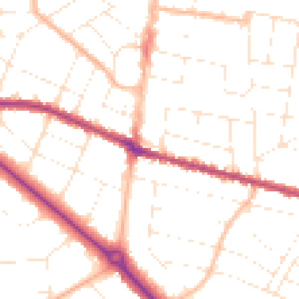
Daytime· 07:00 – 23:00
50.4dB

Night-time· 23:00 – 07:00
40.1dB