4 Copsewood Avenue, Bournemouth, BH8 9NG
About 4 Copsewood Avenue
4 Copsewood Avenue is a three-bedroom property in Bournemouth (BH8 9NG). It has council tax band E.
It hasn't traded since January 2009, a hold of 17 years that's notably long for the area. That sale fell during the post-crash dip, which often skews comparisons against later neighbouring sales.
What this property has
Inside
- Bedrooms3
- Dining roomYes
Outside
- Private gardenYes
- GarageYes
Everything you need to know about 4 Copsewood Avenue
The true value, the hidden risks and the full sale history, in one report.
Pick your report · every report is £14.99
One time fee only - money back guarantee

The data behind every report


Energy performance
No EPC on record
This property doesn't have an Energy Performance Certificate yet. An EPC is required to sell or let — and unlocks our automated valuation.
Get a survey for this property
Level 2 HomeBuyer Report
We've checked 10 risk factors against the available data for this property and believe a Level 2 HomeBuyer Report could be a suitable option for you.
Planning history
4 Copsewood Avenue has no planning applications on record.
But the area is active
7 notable applications nearby — larger schemes and conversions that could reshape the street. The report maps them all.
Sales history & valuation
The latest sale fell during the post-2008 dip, often a low-water mark in price comparisons.
£249,950
Recorded with HM Land Registry.
Sales timeline
30 January 2009Most recent
£249,950
Median price across the last 5 sales in BH8 9NG: £540,000 (2022–2013).
Nearby sales in BH8 9NG
1 Copsewood Avenue, Bournemouth, BH8 9NG
Sold Sept 2022
£685,00011 Copsewood Avenue, Bournemouth, BH8 9NG
Sold Dec 2020
£570,0007 Copsewood Avenue, Bournemouth, BH8 9NG
Sold Nov 2017
£540,0006 Copsewood Avenue, Bournemouth, BH8 9NG
Sold Aug 2013
£305,00017 Copsewood Avenue, Bournemouth, BH8 9NG
Sold Aug 2013
£339,950
Everything you need to know about 4 Copsewood Avenue
The true value, the hidden risks and the full sale history, in one report.
Pick your report · every report is £14.99
One time fee only - money back guarantee
The data behind every report
Similar properties nearby
The neighbourhood at a glance
Crime
14/mo
Steady year-on-year across the wider district.
Nearest stop
0.5 km
Mount Pleasant Drive — bus stop.
Closest school
0.7 km
The Bishop of Winchester Academy. 24 schools nearby.
Go deeper on the local area
A Local Area report breaks down crime, transport links, schools and air quality in depth.
Road noise across the postcode
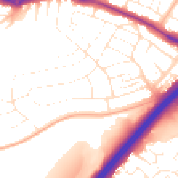
Daytime· 07:00 – 23:00
53.2dB

Night-time· 23:00 – 07:00
43.9dB