11 Copsewood Avenue, Bournemouth, BH8 9NG
About 11 Copsewood Avenue
11 Copsewood Avenue is a four-bedroom detached house in Bournemouth (BH8 9NG). It has a recorded floor area of 125 m² (around 1345 sq ft), construction records dating it to 1967-1975 and council tax band E. The latest certificate (June 2020) shows a D (score 66), on the cusp of jumping into the C band. When first surveyed in March 2014 the rating was E, the property has climbed 1 band since. Between certificates, hot-water efficiency went from Average to Good and lighting went from Very Poor to Very Good; while wall efficiency dropped from Good to Average. The recommended improvements would push it to C (score 79).
At 125 m² it's 21.4% larger than the typical home in the postcode (103 m² median across 11 EPCs). Across 2014–2020, sale prices on this property compounded at 8.1% per year. Today's modelled estimate of £699,000 is 22.6% above the 2020 sale price. On a £-per-square-foot basis, the last sale (£424/sq ft) was about 63.5% above the typical sold price in the postcode. 2 planning records sit against the property, 1 approved, 1 refused. Sold December 2020 for £570,000.
What this property has
Inside
- Bedrooms4
- Bathrooms3
- EnsuiteYes
- StudyYes
Outside
- Private gardenYes
- GarageYes
Everything you need to know about 11 Copsewood Avenue
The true value, the hidden risks and the full sale history, in one report.
Pick your report · every report is £14.99
One time fee only - money back guarantee

The data behind every report


Energy performance
EPC Rating
Property Improvements
Changes detected from historical EPC data
Hot water efficiency improved
Windows upgraded, improving insulation
Loft insulation upgraded to recommended levels
More low energy lighting installed
Get a survey for this property
Level 2 HomeBuyer Report
We've checked 10 risk factors against the available data for this property and believe a Level 2 HomeBuyer Report could be a suitable option for you.
From £895 · Includes VAT
Planning history
2 applications on record at 11 Copsewood Avenue, Bournemouth, BH8 9NG
- May 2020ExtensionFullOutcome in report
Alterations and extensions to dwelling including new roof
- Documents
- 8 docs on file
- Reference
- 7-2020-27672
- More recent applications — locked
- OutbuildingDec 2021Decision
Unlock 11 Copsewood Avenue, Bournemouth, BH8 9NG's full planning history
You're seeing the shape of it. The report has the substance.
- Every decision — granted, refused or withdrawn (2 on record)
- All 2 applications on this property in full, plus 7 notable nearby
- The 14 documents, officer reports & conditions
- What the pattern means for extending or converting here
One time fee only - money back guarantee
Sales history & valuation
The latest sale landed in the post-pandemic price surge — useful context when reading the figure.
£699,000
Modelled from EPC, postcode comparables and a sale-price growth of 8.1% per year over 6 years.
£570,000
Growth on file: 8.1% per year over 6 years.
Sales timeline
9 December 2020Most recent
£570,000
+62.9%over 6 years25 August 2014
£350,000
Median price across the last 5 sales in BH8 9NG: £339,950 (2022–2011).
Nearby sales in BH8 9NG
1 Copsewood Avenue, Bournemouth, BH8 9NG
Sold Sept 2022
£685,0007 Copsewood Avenue, Bournemouth, BH8 9NG
Sold Nov 2017
£540,0006 Copsewood Avenue, Bournemouth, BH8 9NG
Sold Aug 2013
£305,00017 Copsewood Avenue, Bournemouth, BH8 9NG
Sold Aug 2013
£339,95010 Copsewood Avenue, Bournemouth, BH8 9NG
Sold Aug 2010
£297,500
Versus other Copsewood Avenue homes
On price per m², 11 Copsewood Avenue stands well clear of the street.
Price per m²
£4,560
Street avg £3,273
Floor Area
125 m²
Street avg 122 m²
Habitable Rooms
5 rooms
Street avg 5 rooms
CO₂ Emissions
4.6 t/year
Street avg 5.3 t/year
Everything you need to know about 11 Copsewood Avenue
The true value, the hidden risks and the full sale history, in one report.
Pick your report · every report is £14.99
One time fee only - money back guarantee
The data behind every report
Similar properties nearby
The neighbourhood at a glance
Crime
14/mo
Steady year-on-year across the wider district.
Nearest stop
0.5 km
Mount Pleasant Drive — bus stop.
Closest school
0.7 km
The Bishop of Winchester Academy. 24 schools nearby.
Go deeper on the local area
A Local Area report breaks down crime, transport links, schools and air quality in depth.
Road noise across the postcode
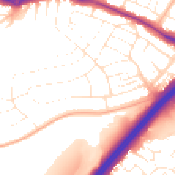
Daytime· 07:00 – 23:00
53.2dB

Night-time· 23:00 – 07:00
43.9dB