2 Copsewood Avenue, Bournemouth, BH8 9NG
About 2 Copsewood Avenue
2 Copsewood Avenue is a four-bedroom detached house in Bournemouth (BH8 9NG). It has a recorded floor area of 201 m² (around 2164 sq ft), construction records dating it to 1967-1975 and council tax band F. The latest certificate (October 2013) shows a C (score 73). The latest certificate is from October 2013, so improvements made since then won't be reflected.
Held since May 2005 — that's 21 years off the open market, well above the local norm. At 201 m² the property is well over the postcode median (103 m² across 11 EPCs), placing it in the larger end of the local stock. On energy efficiency it sits in the top 10% of properties in this postcode. Today's modelled estimate of £712,000 sits 80.3% above the 2005 sale of £395,000. On a £-per-square-foot basis, the last sale (£183/sq ft) was about 29.8% below the postcode norm. One planning record on file: tree works approved in 2020. Past consents include tree works, meaningful when judging how the property has evolved.
What this property has
Inside
- Bedrooms4
Everything you need to know about 2 Copsewood Avenue
The true value, the hidden risks and the full sale history, in one report.
Pick your report · every report is £14.99
One time fee only - money back guarantee

The data behind every report


Energy performance
2 Copsewood Avenue ranks among the most efficient homes in the postcode for energy use.
EPC Expired
This certificate is over 10 years old and is no longer valid.Expired 22 Oct 2023
EPC Rating
Get a survey for this property
Level 2 HomeBuyer Report
We've checked 10 risk factors against the available data for this property and believe a Level 2 HomeBuyer Report could be a suitable option for you.
From £995 · Includes VAT
Planning history
1 application on record at 2 Copsewood Avenue, Bournemouth, BH8 9NG
- Dec 2020Tree WorksTreesOutcome in report
Liquidambar (T1) - Crown reduce by a maximum of 3m to the previous pruning points of 2009 and reshape crown.
- Documents
- 5 docs on file
- Reference
- 7-2020-24203-A
Unlock 2 Copsewood Avenue, Bournemouth, BH8 9NG's full planning history
You're seeing the shape of it. The report has the substance.
- Every decision — granted, refused or withdrawn (1 on record)
- All 1 application on this property in full, plus 7 notable nearby
- The 5 documents, officer reports & conditions
- What the pattern means for extending or converting here
One time fee only - money back guarantee
Sales history & valuation
2 Copsewood Avenue valuation sits well clear of the typical sold price in this postcode.
£712,000
Modelled from EPC, postcode comparables.
£395,000
Recorded with HM Land Registry.
Sales timeline
25 May 2005Most recent
£395,000
Median price across the last 5 sales in BH8 9NG: £540,000 (2022–2013).
Nearby sales in BH8 9NG
1 Copsewood Avenue, Bournemouth, BH8 9NG
Sold Sept 2022
£685,00011 Copsewood Avenue, Bournemouth, BH8 9NG
Sold Dec 2020
£570,0007 Copsewood Avenue, Bournemouth, BH8 9NG
Sold Nov 2017
£540,0006 Copsewood Avenue, Bournemouth, BH8 9NG
Sold Aug 2013
£305,00017 Copsewood Avenue, Bournemouth, BH8 9NG
Sold Aug 2013
£339,950
Versus other Copsewood Avenue homes
On price per m², 2 Copsewood Avenue runs well behind the street norm.
Price per m²
£1,965
Street avg £3,561
Floor Area
201 m²
Street avg 115 m²
Habitable Rooms
6 rooms
Street avg 5 rooms
CO₂ Emissions
5.2 t/year
Street avg 5.3 t/year
Everything you need to know about 2 Copsewood Avenue
The true value, the hidden risks and the full sale history, in one report.
Pick your report · every report is £14.99
One time fee only - money back guarantee
The data behind every report
Similar properties nearby
The neighbourhood at a glance
Crime
14/mo
Steady year-on-year across the wider district.
Nearest stop
0.5 km
Mount Pleasant Drive — bus stop.
Closest school
0.7 km
The Bishop of Winchester Academy. 24 schools nearby.
Go deeper on the local area
A Local Area report breaks down crime, transport links, schools and air quality in depth.
Road noise across the postcode
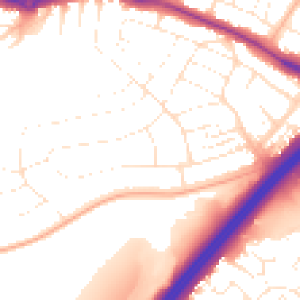
Daytime· 07:00 – 23:00
53.2dB

Night-time· 23:00 – 07:00
43.9dB