7 Oak Road, Bournemouth, BH8 8TB
About 7 Oak Road
7 Oak Road is a five-bedroom detached house in Bournemouth (BH8 8TB). It has a recorded floor area of 180 m² (around 1938 sq ft), construction records dating it to 1930-1949 and council tax band E. The latest certificate (February 2017) shows an E (score 54), well below the UK norm with real room to improve. The recommended improvements would lift it to C (score 80), a 2-band jump. Other recorded features include a loft.
At 180 m² the property is well over the postcode median (136 m² across 10 EPCs), placing it in the larger end of the local stock. On energy efficiency it sits in the bottom 10% of properties in this postcode — significant headroom for improvement. 5 bedrooms is on the larger side for this postcode, where 3 is the typical count. 9 years since the last transfer (May 2017). Across 2005–2017, sale prices on this property compounded at 6.9% per year. Today's modelled estimate of £517,000 is 35% above the 2017 sale price.
What this property has
Inside
- Bedrooms5
- Bathrooms3
- Dining roomYes
- EnsuiteYes
- LoftYes
- FireplaceYes
Outside
- Private gardenRear
- GarageDouble
- Summer houseYes
Building
- RefurbishedYes
Everything you need to know about 7 Oak Road
The true value, the hidden risks and the full sale history, in one report.
Pick your report · every report is £14.99
One time fee only - money back guarantee

The data behind every report


Energy performance
7 Oak Road sits at the bottom of the postcode for energy efficiency — meaningful headroom to improve.
EPC Rating
Get a survey for this property
Level 2 HomeBuyer Report
We've checked 10 risk factors against the available data for this property and believe a Level 2 HomeBuyer Report could be a suitable option for you.
From £795 · Includes VAT
Planning history
7 Oak Road has no planning applications on record.
But the area is active
34 notable applications nearby — larger schemes and conversions that could reshape the street. The report maps them all.
Sales history & valuation
Sale price has at least doubled since 2005.
£517,000
Modelled from EPC, postcode comparables and a sale-price growth of 6.9% per year over 12 years.
£383,000
Growth on file: 6.9% per year over 12 years.
Sales timeline
11 May 2017Most recent
£383,000
+29.8%over 11 years20 December 2005
£295,000
+73.5%over 10 months10 February 2005
£170,000
Median price across the last 5 sales in BH8 8TB: £385,000 (2024–2017).
Versus other Oak Road homes
EPC Rating for 7 Oak Road lags the street by a wide margin.
Price per m²
£2,128
Street avg £2,576
Floor Area
180 m²
Street avg 137 m²
Habitable Rooms
8 rooms
Street avg 7 rooms
CO₂ Emissions
7.7 t/year
Street avg 5.8 t/year
Everything you need to know about 7 Oak Road
The true value, the hidden risks and the full sale history, in one report.
Pick your report · every report is £14.99
One time fee only - money back guarantee
The data behind every report
Similar properties nearby
The neighbourhood at a glance
Crime
14/mo
Steady year-on-year across the wider district.
Nearest stop
0.2 km
Bennett Road — bus stop.
Closest school
0.7 km
Malmesbury Park Primary School. 25 schools nearby.
Go deeper on the local area
A Local Area report breaks down crime, transport links, schools and air quality in depth.
Road noise across the postcode
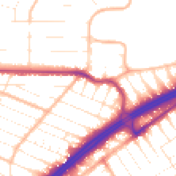
Daytime· 07:00 – 23:00
52.7dB

Night-time· 23:00 – 07:00
43.1dB