11 Diamond Place, Bournemouth, BH8 0FA
About 11 Diamond Place
11 Diamond Place is a detached house in Bournemouth (BH8 0FA). It has a recorded floor area of 125 m² (around 1345 sq ft) and council tax band E. The latest certificate (March 2015) returns a high B (score 85), putting the home a stone's throw from an A rating. The recommended improvements would push it to A (score 94). The latest certificate is from March 2015, so improvements made since then won't be reflected.
At 125 m² the property is well over the postcode median (82 m² across 23 EPCs), placing it in the larger end of the local stock. 11 years since the last transfer (April 2015). Today's modelled estimate of £495,000 is 34.5% above the 2015 sale price.
Everything you need to know about 11 Diamond Place
The true value, the hidden risks and the full sale history, in one report.
Pick your report · every report is £14.99
One time fee only - money back guarantee

The data behind every report


Energy performance
11 Diamond Place's EPC is over a decade old — improvements since won't be reflected.
EPC Expired
This certificate is over 10 years old and is no longer valid.Expired 10 Mar 2025
EPC Rating
Get a survey for this property
Level 2 HomeBuyer Report
We've checked 10 risk factors against the available data for this property and believe a Level 2 HomeBuyer Report could be a suitable option for you.
From £695 · Includes VAT
Planning history
11 Diamond Place has no planning applications on record.
A planning report still maps activity across the surrounding area and reads this property's extension & conversion potential.
Sales history & valuation
11 Diamond Place valuation sits well clear of the typical sold price in this postcode.
£495,000
Modelled from EPC, postcode comparables.
£367,995
Recorded with HM Land Registry.
Sales timeline
9 April 2015Most recent
£367,995
Median price across the last 5 sales in BH8 0FA: £380,000 (2025–2023).
Nearby sales in BH8 0FA
Versus other Diamond Place homes
11 Diamond Place outperforms the street on epc rating by a wide margin.
Price per m²
£2,944
Street avg £3,283
Floor Area
125 m²
Street avg 94 m²
CO₂ Emissions
1.7 t/year
Street avg 1.5 t/year
Years Held
11 years
Street avg 7 years
Everything you need to know about 11 Diamond Place
The true value, the hidden risks and the full sale history, in one report.
Pick your report · every report is £14.99
One time fee only - money back guarantee
The data behind every report
Similar properties nearby
The neighbourhood at a glance
Crime
14/mo
Steady year-on-year across the wider district.
Nearest stop
0.1 km
The Electric Club — bus stop.
Closest school
0.5 km
Muscliff Primary School. 21 schools nearby.
Go deeper on the local area
A Local Area report breaks down crime, transport links, schools and air quality in depth.
Road noise across the postcode
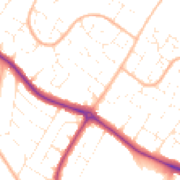
Daytime· 07:00 – 23:00
50.6dB

Night-time· 23:00 – 07:00
40.3dB