24 Diamond Place, Bournemouth, BH8 0FA
About 24 Diamond Place
24 Diamond Place is a mid-terrace house in Bournemouth (BH8 0FA). It has a recorded floor area of 74 m² (around 797 sq ft), construction records dating it to 2012 onwards and council tax band C. The latest certificate (February 2023) shows a C (score 79), near the top of the C band. Earlier certificates rated it B (October 2014); the latest reading is one band lower. Between certificates, window efficiency dropped from Very Good to Good. The recommended improvements would push it to B (score 91).
On a £-per-square-foot basis, the last sale (£141/sq ft) was about 54.6% below the postcode norm. Most recent transfer: July 2023 at £112,000.
Everything you need to know about 24 Diamond Place
The true value, the hidden risks and the full sale history, in one report.
Pick your report · every report is £14.99
One time fee only - money back guarantee

The data behind every report


Energy performance
EPC Rating
Get a survey for this property
Level 2 HomeBuyer Report
We've checked 10 risk factors against the available data for this property and believe a Level 2 HomeBuyer Report could be a suitable option for you.
From £495 · Includes VAT
Planning history
24 Diamond Place has no planning applications on record.
A planning report still maps activity across the surrounding area and reads this property's extension & conversion potential.
Sales history & valuation
Latest sale on 24 Diamond Place was the lowest on Land Registry record across the postcode.
£113,000
Modelled from EPC, postcode comparables.
£112,000
Recorded with HM Land Registry.
Sales timeline
27 July 2023Most recent
£112,000
Median price across the last 5 sales in BH8 0FA: £380,000 (2025–2021).
Nearby sales in BH8 0FA
Versus other Diamond Place homes
On price per m², 24 Diamond Place runs well behind the street norm.
Price per m²
£1,514
Street avg £3,354
Floor Area
74 m²
Street avg 96 m²
Habitable Rooms
3 rooms
Street avg 5 rooms
CO₂ Emissions
1.6 t/year
Street avg 1.5 t/year
Everything you need to know about 24 Diamond Place
The true value, the hidden risks and the full sale history, in one report.
Pick your report · every report is £14.99
One time fee only - money back guarantee
The data behind every report
Similar properties nearby
The neighbourhood at a glance
Crime
14/mo
Steady year-on-year across the wider district.
Nearest stop
0.1 km
The Electric Club — bus stop.
Closest school
0.5 km
Muscliff Primary School. 21 schools nearby.
Go deeper on the local area
A Local Area report breaks down crime, transport links, schools and air quality in depth.
Road noise across the postcode
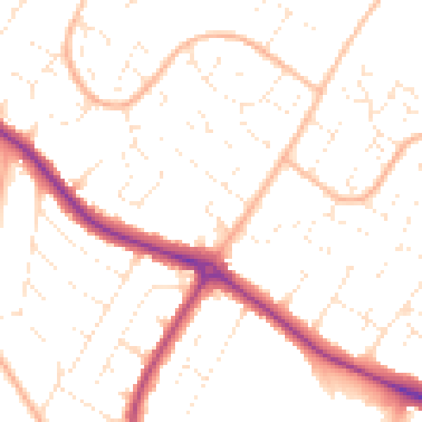
Daytime· 07:00 – 23:00
50.6dB

Night-time· 23:00 – 07:00
40.3dB