17 Mill Road, Bournemouth, BH8 0DR
About 17 Mill Road
17 Mill Road is a semi-detached house in Bournemouth (BH8 0DR). It has a recorded floor area of 46 m² (around 495 sq ft), construction records dating it to 1950-1966 and council tax band B. The latest certificate (July 2024) shows a C (score 69), just inside the C band. When first surveyed in January 2012 the rating was E, the property has climbed 2 bands since. Between certificates, hot-water efficiency went from Very Poor to Good and main heating went from Average to Good; while roof efficiency dropped from Very Good to Good. The recommended improvements would push it to B (score 89).
At 46 m² it sits well below the postcode median (81 m² across 5 EPCs), making it one of the more compact homes locally. On energy efficiency it sits in the top 10% of properties in this postcode.
Everything you need to know about 17 Mill Road
The true value, the hidden risks and the full sale history, in one report.
Pick your report · every report is £14.99
One time fee only - money back guarantee

The data behind every report


Energy performance
17 Mill Road ranks among the most efficient homes in the postcode for energy use.
EPC Rating
Property Improvements
Changes detected from historical EPC data
Heating system changed
Connected to mains gas supply
Heating controls upgraded for better temperature management
Hot water system upgraded
Ventilation system changed
Get a survey for this property
Level 2 HomeBuyer Report
We've checked 10 risk factors against the available data for this property and believe a Level 2 HomeBuyer Report could be a suitable option for you.
From £545 · Includes VAT
Planning history
17 Mill Road has no planning applications on record.
A planning report still maps activity across the surrounding area and reads this property's extension & conversion potential.
Sales history & valuation
17 Mill Road has no Land Registry sales on file, suggesting it has stayed in the same hands since registration began.
£214,000
Modelled from EPC, postcode comparables.
No sales recorded with HM Land Registry
That can mean the property has never traded since the registry began publishing in 1995, was a new build that hasn't been registered yet, or is held in the same hands long-term.
Median price across the last 5 sales in BH8 0DR: £350,000 (2024–2011).
Versus other Mill Road homes
17 Mill Road outperforms the street on epc rating by a wide margin.
EPC Rating
69 (C)
Street avg 63 (D)
Floor Area
46 m²
Street avg 83 m²
CO₂ Emissions
1.9 t/year
Street avg 3.8 t/year
Habitable Rooms
2 rooms
Street avg 4 rooms
Everything you need to know about 17 Mill Road
The true value, the hidden risks and the full sale history, in one report.
Pick your report · every report is £14.99
One time fee only - money back guarantee
The data behind every report
Similar properties nearby
The neighbourhood at a glance
Crime
14/mo
Steady year-on-year across the wider district.
Nearest stop
0.2 km
Mill Road — bus stop.
Closest school
0.3 km
Bournemouth School for Girls. 22 schools nearby.
Go deeper on the local area
A Local Area report breaks down crime, transport links, schools and air quality in depth.
Road noise across the postcode
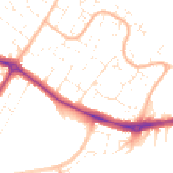
Daytime· 07:00 – 23:00
50.0dB

Night-time· 23:00 – 07:00
39.9dB