Westfield, Throop Road, Bournemouth, BH8 0DF
About Westfield
Westfield is a property in Bournemouth (BH8 0DF). It has council tax band E.
One planning record on file: tree works approved in 2020. Past consents include tree works, meaningful when judging how the property has evolved.
Energy performance
No EPC on record
This property doesn't have an Energy Performance Certificate yet. An EPC is required to sell or let — and unlocks our automated valuation.
Get a survey for this property
Level 2 HomeBuyer Report
We've checked 10 risk factors against the available data for this property and believe a Level 2 HomeBuyer Report could be a suitable option for you.
Planning history
- Aug 2020Tree WorksTreesOutcome in report
Leylandii (tree 1a), fell.
- Documents
- 2 docs on file
- Reference
- 7-2020-6702-N
Sales history & valuation
No sales recorded with HM Land Registry
That can mean the property has never traded since the registry began publishing in 1995, was a new build that hasn't been registered yet, or is held in the same hands long-term.
Median price across the last 4 sales in BH8 0DF: £514,975 (2017–2003).
Similar properties nearby
The neighbourhood at a glance
Daytime road noise here sits well below conversation level — a quiet pocket of the postcode.
Crime
14/mo
Steady year-on-year across the wider district.
Nearest stop
0.3 km
Yellow Buses Garage — bus stop.
Closest school
0.6 km
Jewell Academy Bournemouth. 16 schools nearby.
Road noise across the postcode
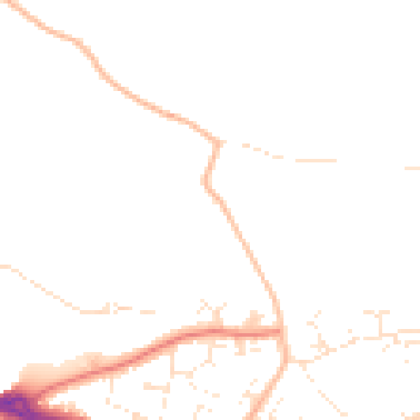
Daytime· 07:00 – 23:00
46.7dB

Night-time· 23:00 – 07:00
38.6dB