32 Damerham Road, Bournemouth, BH8 0BU
About 32 Damerham Road
32 Damerham Road is a three-bedroom semi-detached house in Bournemouth (BH8 0BU). It has a recorded floor area of 71 m² (around 765 sq ft), construction records dating it to 1976-1982 and council tax band C. The latest certificate (September 2010) shows a C (score 69), just inside the C band. The latest certificate is from September 2010, so improvements made since then won't be reflected.
On the market in December 2015 and unlisted since — roughly 10 years. Across the public record there are 5 sales, relatively high churn for a single property. Across 2001–2015, sale prices on this property compounded at 6.1% per year. Today's modelled estimate of £340,000 is 41.7% above the 2015 sale price. On a £-per-square-foot basis, the last sale (£314/sq ft) was about 60.6% above the typical sold price in the postcode. At 71 m² it's 21% smaller than the typical home in the postcode (90 m² median across 10 EPCs).
What this property has
Inside
- Bedrooms3
- Bathrooms1
- Dining roomYes
Outside
- Private gardenSouth-facing
- GarageYes
Building
- Heating systemGas
- RefurbishedYes
Everything you need to know about 32 Damerham Road
The true value, the hidden risks and the full sale history, in one report.
Pick your report · every report is £14.99
One time fee only - money back guarantee

The data behind every report


Energy performance
32 Damerham Road's EPC is over a decade old — improvements since won't be reflected.
EPC Expired
This certificate is over 10 years old and is no longer valid.Expired 23 Sept 2020
EPC Rating
Get a survey for this property
Level 2 HomeBuyer Report
We've checked 10 risk factors against the available data for this property and believe a Level 2 HomeBuyer Report could be a suitable option for you.
From £595 · Includes VAT
Planning history
32 Damerham Road has no planning applications on record.
A planning report still maps activity across the surrounding area and reads this property's extension & conversion potential.
Sales history & valuation
32 Damerham Road has more than doubled in price since the earliest registered sale in 2001.
£340,000
Modelled from EPC, postcode comparables and a sale-price growth of 6.1% per year over 14 years.
£239,950
Growth on file: 6.1% per year over 14 years.
Sales timeline
11 December 2015Most recent
£239,950
+23.1%over 5 years19 November 2010
£195,000
+26.6%over 6 years7 April 2004
£154,000
+2.7%4 April 2004
£150,000
+47.1%over 2 years14 June 2001
£102,000
Median price across the last 5 sales in BH8 0BU: £335,000 (2025–2021).
Nearby sales in BH8 0BU
Versus other Damerham Road homes
Floor Area for 32 Damerham Road lags the street by a wide margin.
Price per m²
£3,375
Street avg £2,942
Floor Area
71 m²
Street avg 92 m²
Habitable Rooms
5 rooms
Street avg 5 rooms
CO₂ Emissions
2.7 t/year
Street avg 3.2 t/year
Everything you need to know about 32 Damerham Road
The true value, the hidden risks and the full sale history, in one report.
Pick your report · every report is £14.99
One time fee only - money back guarantee
The data behind every report
Similar properties nearby
1 Barrowgate Way
BH8 0HD
1 Braishfield Gardens
BH8 0QA
1 Calmore Close
BH8 0NN
1 Culford Close
BH8 0HX
1 Chesilbourne Grove
BH8 0BA
1 Bucklers Way
BH8 0EW
1 Downton Close
BH8 0EP
1 Ashurst Road
BH8 0NW
The neighbourhood at a glance
Daytime road noise here sits well below conversation level — a quiet pocket of the postcode.
Crime
14/mo
Steady year-on-year across the wider district.
Nearest stop
0.1 km
John Pound House — bus stop.
Closest school
0.7 km
Bournemouth School for Girls. 19 schools nearby.
Go deeper on the local area
A Local Area report breaks down crime, transport links, schools and air quality in depth.
Road noise across the postcode
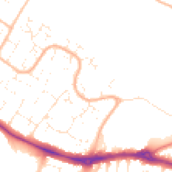
Daytime· 07:00 – 23:00
48.8dB

Night-time· 23:00 – 07:00
39.4dB