34 Damerham Road, Bournemouth, BH8 0BU
About 34 Damerham Road
34 Damerham Road is a three-bedroom semi-detached house in Bournemouth (BH8 0BU). It has a recorded floor area of 71 m² (around 764 sq ft), construction records dating it to 1976-1982 and council tax band C. The latest certificate (October 2020) shows a D (score 64), on the cusp of jumping into the C band. The recommended improvements would lift it to B (score 88), a 2-band jump. Our model identifies extension potential, subject to local planning policy. The home occupies a corner plot and a cul-de-sac position.
Today's modelled estimate of £328,000 is 28.6% above the 2021 sale price. On a £-per-square-foot basis, the last sale (£334/sq ft) was about 70.1% above the typical sold price in the postcode. At 71 m² it's 21.1% smaller than the typical home in the postcode (90 m² median across 10 EPCs). Last sale on file: £255,000 in February 2021. That sale was during the post-pandemic price surge, when transactions cleared materially above pre-2020 trend.
What this property has
Inside
- Bedrooms3
- Bathrooms1
- Dining roomYes
- CloakroomYes
Outside
- GarageEn bloc
- Corner plotYes
- Cul-de-sacYes
Building
- Heating systemGas
- RefurbishedYes
- Extension potentialPossible
Everything you need to know about 34 Damerham Road
The true value, the hidden risks and the full sale history, in one report.
Pick your report · every report is £14.99
One time fee only - money back guarantee

The data behind every report


Energy performance
Recommended upgrades on file would lift this property by multiple EPC bands.
EPC Rating
Get a survey for this property
Level 2 HomeBuyer Report
We've checked 10 risk factors against the available data for this property and believe a Level 2 HomeBuyer Report could be a suitable option for you.
From £595 · Includes VAT
Planning history
34 Damerham Road has no planning applications on record.
A planning report still maps activity across the surrounding area and reads this property's extension & conversion potential.
Sales history & valuation
The latest sale landed in the post-pandemic price surge — useful context when reading the figure.
£328,000
Modelled from EPC, postcode comparables.
£255,000
Recorded with HM Land Registry.
Sales timeline
26 February 2021Most recent
£255,000
Median price across the last 5 sales in BH8 0BU: £335,000 (2025–2018).
Nearby sales in BH8 0BU
Versus other Damerham Road homes
34 Damerham Road is notably below the street on floor area.
Price per m²
£3,592
Street avg £2,921
Floor Area
71 m²
Street avg 92 m²
Habitable Rooms
4 rooms
Street avg 5 rooms
CO₂ Emissions
3.2 t/year
Street avg 3.1 t/year
Everything you need to know about 34 Damerham Road
The true value, the hidden risks and the full sale history, in one report.
Pick your report · every report is £14.99
One time fee only - money back guarantee
The data behind every report
Similar properties nearby
1 Braishfield Gardens
BH8 0QA
1 Barrowgate Way
BH8 0HD
1 Calmore Close
BH8 0NN
1 Culford Close
BH8 0HX
1 Chesilbourne Grove
BH8 0BA
1 Bucklers Way
BH8 0EW
1 Ashurst Road
BH8 0NW
1 Downton Close
BH8 0EP
The neighbourhood at a glance
Daytime road noise here sits well below conversation level — a quiet pocket of the postcode.
Crime
14/mo
Steady year-on-year across the wider district.
Nearest stop
0.1 km
John Pound House — bus stop.
Closest school
0.7 km
Bournemouth School for Girls. 19 schools nearby.
Go deeper on the local area
A Local Area report breaks down crime, transport links, schools and air quality in depth.
Road noise across the postcode
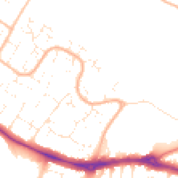
Daytime· 07:00 – 23:00
48.8dB

Night-time· 23:00 – 07:00
39.4dB