28 Damerham Road, Bournemouth, BH8 0BU
About 28 Damerham Road
28 Damerham Road is a three-bedroom property in Bournemouth (BH8 0BU). It has council tax band C.
Held since February 2007 — that's 19 years off the open market, well above the local norm. That sale landed at the peak of the pre-credit-crunch market, which is a useful reference point when interpreting the price. Across 1995–2007, sale prices on this property compounded at 12.2% per year.
What this property has
Inside
- Bedrooms3
Everything you need to know about 28 Damerham Road
The true value, the hidden risks and the full sale history, in one report.
Pick your report · every report is £14.99
One time fee only - money back guarantee

The data behind every report


Energy performance
No EPC on record
This property doesn't have an Energy Performance Certificate yet. An EPC is required to sell or let — and unlocks our automated valuation.
Get a survey for this property
Level 2 HomeBuyer Report
We've checked 10 risk factors against the available data for this property and believe a Level 2 HomeBuyer Report could be a suitable option for you.
Planning history
28 Damerham Road has no planning applications on record.
A planning report still maps activity across the surrounding area and reads this property's extension & conversion potential.
Sales history & valuation
Sale price has grown by over 3x since 1995.
£207,000
Growth on file: 12.2% per year over 12 years.
Sales timeline
15 February 2007Most recent
£207,000
+26.2%over 3 years5 December 2003
£164,000
+215.4%over 8 years24 February 1995
£52,000
Median price across the last 5 sales in BH8 0BU: £335,000 (2025–2021).
Nearby sales in BH8 0BU
Everything you need to know about 28 Damerham Road
The true value, the hidden risks and the full sale history, in one report.
Pick your report · every report is £14.99
One time fee only - money back guarantee
The data behind every report
Similar properties nearby
1 Barrowgate Way
BH8 0HD
1 Braishfield Gardens
BH8 0QA
1 Calmore Close
BH8 0NN
1 Culford Close
BH8 0HX
1 Chesilbourne Grove
BH8 0BA
1 Downton Close
BH8 0EP
1 Bucklers Way
BH8 0EW
1 Ashurst Road
BH8 0NW
The neighbourhood at a glance
Daytime road noise here sits well below conversation level — a quiet pocket of the postcode.
Crime
14/mo
Steady year-on-year across the wider district.
Nearest stop
0.1 km
John Pound House — bus stop.
Closest school
0.7 km
Bournemouth School for Girls. 19 schools nearby.
Go deeper on the local area
A Local Area report breaks down crime, transport links, schools and air quality in depth.
Road noise across the postcode
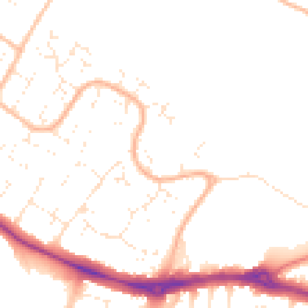
Daytime· 07:00 – 23:00
48.8dB

Night-time· 23:00 – 07:00
39.4dB