18 Livingstone Road, Bournemouth, BH5 2AS
About 18 Livingstone Road
18 Livingstone Road is a four-bedroom detached house in Bournemouth (BH5 2AS). It has a recorded floor area of 148 m² (around 1593 sq ft), construction records dating it to 1900-1929 and council tax band C. The latest certificate (August 2023) shows a D (score 63), on the cusp of jumping into the C band. The rating has held steady at D across 2 certificates since March 2013. Between certificates, lighting went from Good to Very Good; while wall efficiency dropped from Good to Poor. The recommended improvements would push it to C (score 77). Period features are noted in the property record.
At 148 m² the property is well over the postcode median (74 m² across 41 EPCs), placing it in the larger end of the local stock. Across 1997–2024, sale prices on this property compounded at 7.9% per year. On a £-per-square-foot basis, the last sale (£427/sq ft) was about 103.6% above the typical sold price in the postcode. Most recent transfer: September 2024 at £680,000.
What this property has
Inside
- Bedrooms4
- Bathrooms2
- Dining roomYes
Outside
- Private gardenYes
- GarageDetached
Building
- Period featuresYes
Everything you need to know about 18 Livingstone Road
The true value, the hidden risks and the full sale history, in one report.
Pick your report · every report is £14.99
One time fee only - money back guarantee

The data behind every report


Energy performance
EPC Rating
Property Improvements
Changes detected from historical EPC data
More low energy lighting installed
Get a survey for this property
Level 3 Building Survey
Because the property was built before 1919, we believe a Level 3 building survey should be considered.
From £1,220 · Includes VAT
Planning history
18 Livingstone Road has no planning applications on record.
But the area is active
14 notable applications nearby — larger schemes and conversions that could reshape the street. The report maps them all.
Sales history & valuation
Latest sale on 18 Livingstone Road was the highest on Land Registry record across the postcode.
£733,000
Modelled from EPC, postcode comparables and a sale-price growth of 7.9% per year over 27 years.
£680,000
Growth on file: 7.9% per year over 27 years.
Sales timeline
25 September 2024Most recent
£680,000
+100.0%over 10 years11 November 2013
£340,000
+36.8%over 7 years6 April 2006
£248,500
+192.4%over 8 years15 May 1997
£85,000
Median price across the last 5 sales in BH5 2AS: £285,000 (2024–2021).
Nearby sales in BH5 2AS
23c, Livingstone Road, Bournemouth, BH5 2AS
Sold Oct 2024
£294,50023a, Livingstone Road, Bournemouth, BH5 2AS
Sold Nov 2022
£285,0005 Livingstone Road, Bournemouth, BH5 2AS
Sold Sept 2022
£420,0009b, Livingstone Road, Bournemouth, BH5 2AS
Sold May 2022
£260,00039 Livingstone Road, Bournemouth, BH5 2AS
Sold Dec 2021
£235,000
Versus other Livingstone Road homes
Years Held for 18 Livingstone Road lags the street by a wide margin.
Price per m²
£4,595
Street avg £2,870
Floor Area
148 m²
Street avg 94 m²
Habitable Rooms
8 rooms
Street avg 5 rooms
CO₂ Emissions
5.9 t/year
Street avg 4.4 t/year
Everything you need to know about 18 Livingstone Road
The true value, the hidden risks and the full sale history, in one report.
Pick your report · every report is £14.99
One time fee only - money back guarantee
The data behind every report
Similar properties nearby
1 Stedman Road
BH5 2BY
1 Harvey Road
BH5 2AD
1 Queensland Road
BH5 2AB
1 Darracott Gardens, 2 Darracott Road
BH5 2AU
1 Southville Road
BH5 2JT
1 Rotherfield Road
BH5 2DS
1 Rosebery Road
BH5 2JH
10 Ashbourne Road
BH5 2JS
The neighbourhood at a glance
Rail-style transport is unusually close for this postcode.
Crime
6/mo
Rising year-on-year across the wider district.
Nearest stop
0.1 km
Darracott Road — bus stop.
Closest school
0.1 km
Pokesdown Community Primary School. 19 schools nearby.
Go deeper on the local area
A Local Area report breaks down crime, transport links, schools and air quality in depth.
Road noise across the postcode
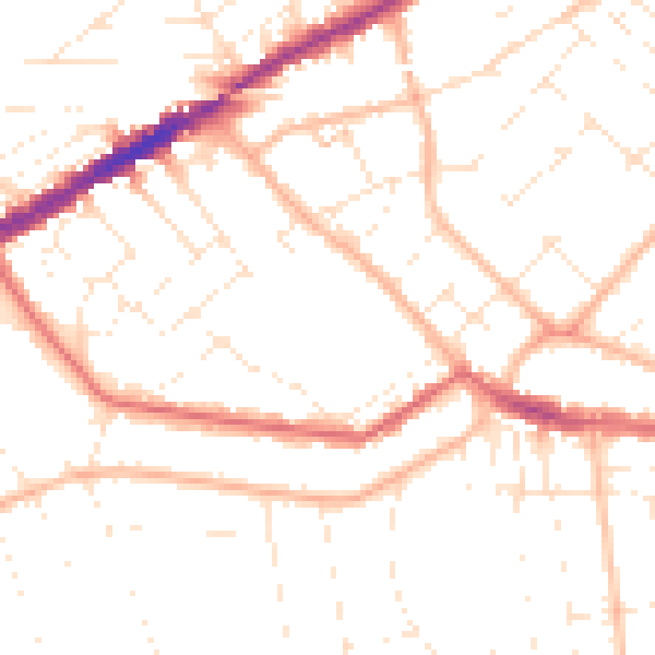
Daytime· 07:00 – 23:00
49.9dB

Night-time· 23:00 – 07:00
39.3dB