1 Wellow Gardens, Oakdale, Poole, BH15 3RP
About 1 Wellow Gardens
1 Wellow Gardens is a three-bedroom property in Oakdale, Poole, Poole (BH15 3RP). It has council tax band D. Tenure is freehold. Other recorded features include outbuildings. The home occupies a corner plot.
Untraded for 19 years, with the last transfer in October 2007. That sale landed at the peak of the pre-credit-crunch market, which is a useful reference point when interpreting the price.
Know exactly what you're buying at 1 Wellow Gardens
Before you offer, see what the listing won't tell you, the true value, the red flags and the full history.
Already flagged here
Valuation
against the asking price
Risks
planning & flood
Sold prices
similar homes nearby
Trends
the local market
What this property has
Inside
- Bedrooms3
- Bathrooms2
- Dining roomYes
- CloakroomYes
- EnsuiteYes
Outside
- Private gardenYes
- ParkingOff road
- OutbuildingsYes
- Corner plotYes
Building
- TenureFreehold
- RefurbishedYes
Energy performance
No EPC on record
This property doesn't have an Energy Performance Certificate yet. An EPC is required to sell or let — and unlocks our automated valuation.
Planning history
1 Wellow Gardens has no planning applications on record.
Notable planning nearby
10applications of note in the surrounding area
We flagged 2 things worth checking at 1 Wellow Gardens
Independent checks surfaced things a buyer would want to understand before offering. The report explains each one in full, with the underlying data and what to ask.
- Signs of HMO activity in the area
- Larger development activity nearby
30-day money-back guarantee
Sales history & valuation
The latest sale landed at the peak of the pre-credit-crunch market — a high-water reference point.
£249,950
Recorded with HM Land Registry.
Sales timeline
4 October 2007Most recent
£249,950
Median price across the last 5 sales in BH15 3RP: £355,000 (2024–2018).
Nearby sales in BH15 3RP
2 Wellow Gardens, Oakdale, Poole, BH15 3RP
Sold Oct 2024
£494,5007 Wellow Gardens, Oakdale, Poole, BH15 3RP
Sold Aug 2024
£355,00010 Wellow Gardens, Oakdale, Poole, BH15 3RP
Sold Dec 2021
£425,00011 Wellow Gardens, Oakdale, Poole, BH15 3RP
Sold Dec 2020
£317,5005 Wellow Gardens, Oakdale, Poole, BH15 3RP
Sold Dec 2018
£318,500
Everything we know about 1 Wellow Gardens, in one report
What it's really worth, what could be wrong, and the planning, sales and area data in full.
What we flagged
- Signs of HMO activity in the area
- Larger development activity nearby

Similar properties nearby
The neighbourhood at a glance
Crime
6/mo
Steady year-on-year across the wider district.
Nearest stop
0.2 km
Pound Close — bus stop.
Closest school
0.6 km
St Mary's Catholic Primary School, Poole. 25 schools nearby.
Go deeper on the local area
The full report breaks down crime, transport links, schools and air quality in depth.
Road noise across the postcode
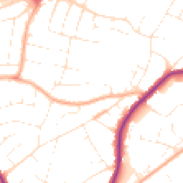
Daytime· 07:00 – 23:00
50.2dB

Night-time· 23:00 – 07:00
40.9dB