21 Dorchester Road, Oakdale, Poole, BH15 3JU
About 21 Dorchester Road
21 Dorchester Road is a three-bedroom detached house in Oakdale, Poole, Poole (BH15 3JU). It has a recorded floor area of 86 m² (around 926 sq ft), construction records dating it to 1930-1949 and council tax band D. The latest certificate (May 2019) shows a D (score 64), on the cusp of jumping into the C band. The recommended improvements would push it to C (score 79). Period features are noted in the property record.
At 86 m² it's 16.2% larger than the typical home in the postcode (74 m² median across 5 EPCs). Today's modelled estimate of £421,000 is 24.2% above the 2019 sale price. On a £-per-square-foot basis, the last sale (£366/sq ft) was about 18.9% above the typical sold price in the postcode. Most recent transfer: October 2019 at £339,000.
Know exactly what you're buying at 21 Dorchester Road
Before you offer, see what the listing won't tell you, the true value, the red flags and the full history.
Already flagged here
Valuation
against the asking price
Risks
planning & flood
Sold prices
similar homes nearby
Trends
the local market
What this property has
Inside
- Bedrooms3
- Dining roomYes
- Utility roomYes
Outside
- GarageYes
Building
- Central heatingYes
- Period featuresYes
Energy performance
EPC Rating
Planning history
21 Dorchester Road has no planning applications on record.
Notable planning nearby
10applications of note in the surrounding area
We flagged 2 things worth checking at 21 Dorchester Road
Independent checks surfaced things a buyer would want to understand before offering. The report explains each one in full, with the underlying data and what to ask.
- Signs of HMO activity in the area
- Larger development activity nearby
30-day money-back guarantee
Sales history & valuation
21 Dorchester Road valuation sits well clear of the typical sold price in this postcode.
£421,000
Modelled from EPC, postcode comparables.
£339,000
Recorded with HM Land Registry.
Sales timeline
9 October 2019Most recent
£339,000
Median price across the last 5 sales in BH15 3JU: £330,000 (2025–2017).
Nearby sales in BH15 3JU
17 Dorchester Road, Oakdale, Poole, BH15 3JU
Sold Jul 2025
£330,00011a, Dorchester Road, Oakdale, Poole, BH15 3JU
Sold Aug 2024
£340,0009 Dorchester Road, Oakdale, Poole, BH15 3JU
Sold Dec 2023
£290,00019 Dorchester Road, Oakdale, Poole, BH15 3JU
Sold Oct 2022
£335,00015 Dorchester Road, Oakdale, Poole, BH15 3JU
Sold Nov 2001
£119,950
Everything we know about 21 Dorchester Road, in one report
What it's really worth, what could be wrong, and the planning, sales and area data in full.
What we flagged
- Signs of HMO activity in the area
- Larger development activity nearby

Versus other Dorchester Road homes
On years held, 21 Dorchester Road stands well clear of the street.
Price per m²
£3,942
Street avg £3,668
Floor Area
86 m²
Street avg 75 m²
Habitable Rooms
5 rooms
Street avg 4 rooms
CO₂ Emissions
3.6 t/year
Street avg 3.1 t/year
Similar properties nearby
The neighbourhood at a glance
Crime
6/mo
Steady year-on-year across the wider district.
Nearest stop
0.1 km
Library — bus stop.
Closest school
0.4 km
Stanley Green Infant Academy. 23 schools nearby.
Go deeper on the local area
The full report breaks down crime, transport links, schools and air quality in depth.
Road noise across the postcode
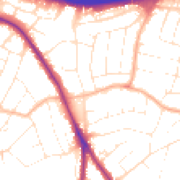
Daytime· 07:00 – 23:00
52.3dB

Night-time· 23:00 – 07:00
43.2dB