16 Duchywood, Bradford, BD9 6DZ
About 16 Duchywood
16 Duchywood is a one-bedroom semi-detached house in Bradford (BD9 6DZ). It has a recorded floor area of 34 m² (around 366 sq ft), construction records dating it to 1991-1995 and council tax band B. The latest certificate (January 2019) shows a C (score 70). The recommended improvements would push it to B (score 90).
Across 2000–2019, sale prices on this property compounded at 4.1% per year. Today's modelled estimate of £130,000 sits 116.7% above the 2019 sale of £60,000. On a £-per-square-foot basis, the last sale (£164/sq ft) was about 32% above the typical sold price in the postcode. At 34 m² it sits well below the postcode median (61 m² across 27 EPCs), making it one of the more compact homes locally. 1 bedrooms is on the smaller side for this postcode, where 3 is the typical count. Most recent transfer: June 2019 at £60,000.
What this property has
Inside
- Bedrooms1
- Bathrooms1
Outside
- Private gardenYes
- GarageYes
Building
- RefurbishedYes
Everything you need to know about 16 Duchywood
The true value, the hidden risks and the full sale history, in one report.
30-day money-back guarantee

The data behind every report


Energy performance
EPC Rating
Planning history
16 Duchywood has no planning applications on record.
Notable planning nearby
7applications of note in the surrounding area
We flagged 1 thing worth checking at 16 Duchywood
Independent checks surfaced things a buyer would want to understand before offering. The report explains each one in full, with the underlying data and what to ask.
- Signs of HMO activity in the area
30-day money-back guarantee
Sales history & valuation
16 Duchywood has more than doubled in price since the earliest registered sale in 2000.
£130,000
Modelled from EPC, postcode comparables and a sale-price growth of 4.1% per year over 18 years.
£60,000
Growth on file: 4.1% per year over 18 years.
Sales timeline
5 June 2019Most recent
£60,000
+3.4%over 7 years22 August 2011
£58,000
+103.5%over 10 years14 December 2000
£28,500
Median price across the last 5 sales in BD9 6DZ: £145,000 (2025–2023).
Versus other Duchywood homes
Habitable Rooms for 16 Duchywood lags the street by a wide margin.
Price per m²
£1,765
Street avg £1,627
Floor Area
34 m²
Street avg 62 m²
Habitable Rooms
2 rooms
Street avg 4 rooms
CO₂ Emissions
1.7 t/year
Street avg 2.9 t/year
Everything you need to know about 16 Duchywood
The true value, the hidden risks and the full sale history, in one report.
30-day money-back guarantee
The data behind every report
Similar properties nearby
The neighbourhood at a glance
Reported crime in the wider district is trending notably upward year-on-year.
Crime
8/mo
Rising year-on-year across the wider district.
Nearest stop
0.1 km
Lynfield Mount Hospital — bus stop.
Closest school
0.7 km
Beckfoot Heaton Primary. 46 schools nearby.
Go deeper on the local area
The full report breaks down crime, transport links, schools and air quality in depth.
Road noise across the postcode
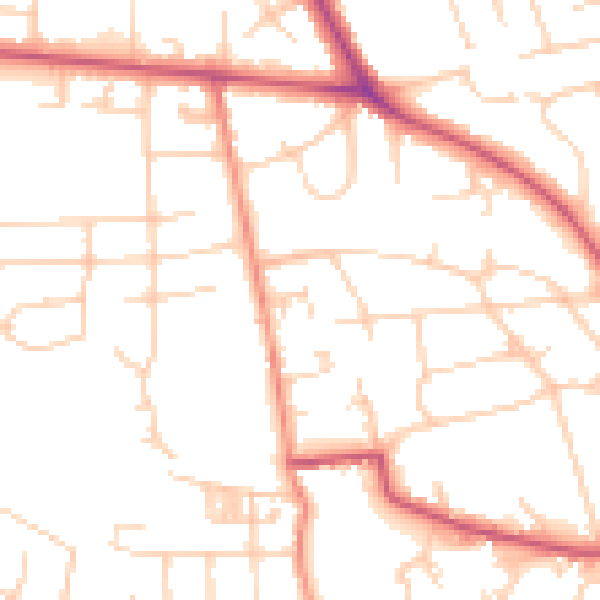
Daytime· 07:00 – 23:00
50.2dB

Night-time· 23:00 – 07:00
40.3dB