8 Firth Road, Bradford, BD9 4RS
About 8 Firth Road
8 Firth Road is a two-bedroom mid-terrace house in Bradford (BD9 4RS). It has a recorded floor area of 83 m² (around 893 sq ft), construction records dating it to 1900-1929 and council tax band A. The latest certificate (July 2022) shows a D (score 60), on the cusp of jumping into the C band. When first surveyed in July 2012 the rating was E, the property has climbed 1 band since. Between certificates, roof efficiency went from Very Poor to Good, window efficiency went from Poor to Good and lighting went from Poor to Good. The recommended improvements would lift it to B (score 87), a 2-band jump.
Across 1997–2015, sale prices on this property compounded at 5.8% per year. Today's modelled estimate of £115,000 sits 79.7% above the 2015 sale of £64,000. On a £-per-square-foot basis, the last sale (£72/sq ft) was about 22.8% above the typical sold price in the postcode. Last sold in August 2015, so it's been off the market for around 11 years. At 83 m² it's 17.8% smaller than the typical home in the postcode (101 m² median across 15 EPCs).
What this property has
Inside
- Bedrooms2
Everything you need to know about 8 Firth Road
The true value, the hidden risks and the full sale history, in one report.
30-day money-back guarantee

The data behind every report


Energy performance
Recommended upgrades on file would lift this property by multiple EPC bands.
EPC Rating
Property Improvements
Changes detected from historical EPC data
Heating controls upgraded for better temperature management
Windows upgraded, improving insulation
Loft insulation installed or upgraded to 250mm+
More low energy lighting installed
Planning history
8 Firth Road has no planning applications on record.
Notable planning nearby
5applications of note in the surrounding area
We flagged 1 thing worth checking at 8 Firth Road
Independent checks surfaced things a buyer would want to understand before offering. The report explains each one in full, with the underlying data and what to ask.
- Signs of HMO activity in the area
30-day money-back guarantee
Sales history & valuation
8 Firth Road has more than doubled in price since the earliest registered sale in 1997.
£115,000
Modelled from EPC, postcode comparables and a sale-price growth of 5.8% per year over 18 years.
£64,000
Growth on file: 5.8% per year over 18 years.
Sales timeline
24 August 2015Most recent
£64,000
+28.0%over 10 years7 February 2005
£50,000
+117.4%over 7 years24 July 1997
£23,000
Median price across the last 5 sales in BD9 4RS: £105,000 (2025–2022).
Versus other Firth Road homes
Floor Area for 8 Firth Road lags the street by a wide margin.
Price per m²
£771
Street avg £843
Floor Area
83 m²
Street avg 98 m²
Habitable Rooms
3 rooms
Street avg 4 rooms
CO₂ Emissions
4.6 t/year
Street avg 6.3 t/year
Everything you need to know about 8 Firth Road
The true value, the hidden risks and the full sale history, in one report.
30-day money-back guarantee
The data behind every report
Similar properties nearby
1 Firth Road
BD9 4RS
1 Frizley Gardens
BD9 4LY
1 Milford Place
BD9 4RU
1 Bradley Street
BD9 4LL
1 Garth Barn Close
BD9 4BG
1 Aireville Crescent
BD9 4EU
1 Aireville Rise
BD9 4ES
1 Lynthorne Road
BD9 4EZ
The neighbourhood at a glance
Reported crime in the wider district is trending notably upward year-on-year.
Crime
8/mo
Rising year-on-year across the wider district.
Nearest stop
0.1 km
Wilmer Rd Garden Terrace — bus stop.
Closest school
0.4 km
St Cuthbert and the First Martyrs' Catholic Primary School, A Voluntary Academy. 53 schools nearby.
Go deeper on the local area
The full report breaks down crime, transport links, schools and air quality in depth.
Road noise across the postcode
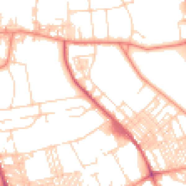
Daytime· 07:00 – 23:00
51.9dB

Night-time· 23:00 – 07:00
40.0dB