1a, Glenmore Close, Bradford, BD2 4RP
About 1a
1a is a detached house in Bradford (BD2 4RP). It has a recorded floor area of 215 m² (around 2314 sq ft). The latest certificate (May 2015) returns a high B (score 85), putting the home a stone's throw from an A rating. The latest certificate is from May 2015, so improvements made since then won't be reflected.
At 215 m² the property is well over the postcode median (75 m² across 5 EPCs), placing it in the larger end of the local stock. On energy efficiency it sits in the top 10% of properties in this postcode.
Everything you need to know about 1a
The true value, the hidden risks and the full sale history, in one report.
Pick your report · every report is £14.99
One time fee only - money back guarantee

The data behind every report


Energy performance
1a ranks among the most efficient homes in the postcode for energy use.
EPC Expired
This certificate is over 10 years old and is no longer valid.Expired 06 May 2025
EPC Rating
Get a survey for this property
Level 2 HomeBuyer Report
We've checked 10 risk factors against the available data for this property and believe a Level 2 HomeBuyer Report could be a suitable option for you.
From £595 · Includes VAT
Planning history
1a has no planning applications on record.
But the area is active
2 notable applications nearby — larger schemes and conversions that could reshape the street. The report maps them all.
Sales history & valuation
1a has no Land Registry sales on file, suggesting it has stayed in the same hands since registration began.
£381,000
Modelled from EPC, postcode comparables.
No sales recorded with HM Land Registry
That can mean the property has never traded since the registry began publishing in 1995, was a new build that hasn't been registered yet, or is held in the same hands long-term.
Median price across the last 5 sales in BD2 4RP: £130,000 (2023–2004).
Nearby sales in BD2 4RP
Versus other Glenmore Close homes
1a outperforms the street on epc rating by a wide margin.
EPC Rating
85 (B)
Street avg 56 (D)
Floor Area
215 m²
Street avg 80 m²
CO₂ Emissions
3.3 t/year
Street avg 4.4 t/year
Everything you need to know about 1a
The true value, the hidden risks and the full sale history, in one report.
Pick your report · every report is £14.99
One time fee only - money back guarantee
The data behind every report
Similar properties nearby
The neighbourhood at a glance
Crime
3/mo
Steady year-on-year across the wider district.
Nearest stop
0.1 km
Killinghall Rd Higher Intake Road — bus stop.
Closest school
0.5 km
Killinghall Primary School. 42 schools nearby.
Go deeper on the local area
A Local Area report breaks down crime, transport links, schools and air quality in depth.
Road noise across the postcode
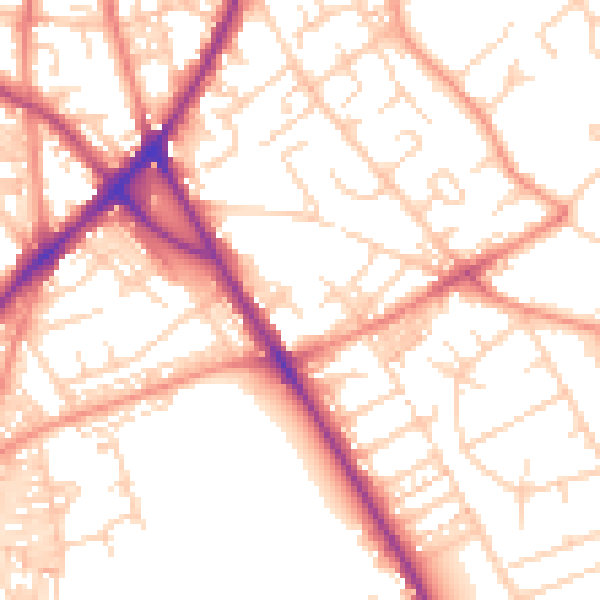
Daytime· 07:00 – 23:00
53.4dB

Night-time· 23:00 – 07:00
42.4dB