14 Ashbourne Garth, Bradford, BD2 4EA
About 14 Ashbourne Garth
14 Ashbourne Garth is a semi-detached house in Bradford (BD2 4EA). It has a recorded floor area of 58 m² (around 624 sq ft), construction records dating it to 1930-1949 and council tax band A. The latest certificate (April 2024) shows a D (score 68), on the cusp of jumping into the C band. The recommended improvements would lift it to B (score 85), a 2-band jump.
Today's modelled estimate of £137,000 is 24.5% above the 2024 sale price. On a £-per-square-foot basis, the last sale (£176/sq ft) was about 54.8% above the typical sold price in the postcode. Sold June 2024 for £110,000.
Everything you need to know about 14 Ashbourne Garth
The true value, the hidden risks and the full sale history, in one report.
Pick your report · every report is £14.99
One time fee only - money back guarantee

The data behind every report


Energy performance
Recommended upgrades on file would lift this property by multiple EPC bands.
EPC Rating
Get a survey for this property
Level 2 HomeBuyer Report
We've checked 10 risk factors against the available data for this property and believe a Level 2 HomeBuyer Report could be a suitable option for you.
From £495 · Includes VAT
Planning history
14 Ashbourne Garth has no planning applications on record.
But the area is active
2 notable applications nearby — larger schemes and conversions that could reshape the street. The report maps them all.
Sales history & valuation
14 Ashbourne Garth valuation sits well clear of the typical sold price in this postcode.
£137,000
Modelled from EPC, postcode comparables.
£110,000
Recorded with HM Land Registry.
Sales timeline
13 June 2024Most recent
£110,000
Median price across the last 5 sales in BD2 4EA: £141,000 (2025–2021).
Nearby sales in BD2 4EA
Versus other Ashbourne Garth homes
14 Ashbourne Garth is notably below the street on floor area.
Price per m²
£1,897
Street avg £1,521
Floor Area
58 m²
Street avg 77 m²
Habitable Rooms
3 rooms
Street avg 4 rooms
CO₂ Emissions
2.7 t/year
Street avg 4.1 t/year
Everything you need to know about 14 Ashbourne Garth
The true value, the hidden risks and the full sale history, in one report.
Pick your report · every report is £14.99
One time fee only - money back guarantee
The data behind every report
Similar properties nearby
The neighbourhood at a glance
Crime
3/mo
Steady year-on-year across the wider district.
Nearest stop
0.1 km
Ashbourne Way Ashbourne Garth — bus stop.
Closest school
0.1 km
Grove House Primary School. 48 schools nearby.
Go deeper on the local area
A Local Area report breaks down crime, transport links, schools and air quality in depth.
Road noise across the postcode
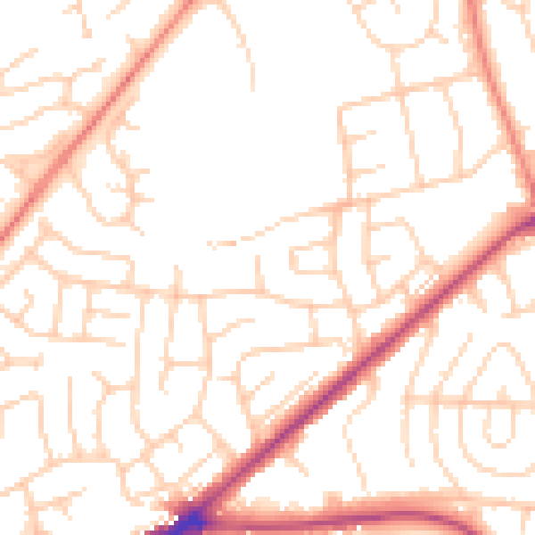
Daytime· 07:00 – 23:00
50.9dB

Night-time· 23:00 – 07:00
39.9dB