3 Harland Close, Bradford, BD2 4BW
About 3 Harland Close
3 Harland Close is a two-bedroom semi-detached house in Bradford (BD2 4BW). It has a recorded floor area of 55 m² (around 592 sq ft), construction records dating it to 1983-1990 and council tax band C. The latest certificate (June 2023) shows a C (score 72). The recommended improvements would push it to B (score 89).
Today's modelled estimate of £174,000 is 22.5% above the 2023 sale price. On a £-per-square-foot basis, the last sale (£240/sq ft) was about 50% above the typical sold price in the postcode. Last sale on file: £142,000 in October 2023.
What this property has
Inside
- Bedrooms2
- Bathrooms1
Outside
- Private gardenYes
- DrivewayYes
Building
- Heating systemGas
Everything you need to know about 3 Harland Close
The true value, the hidden risks and the full sale history, in one report.
Pick your report · every report is £14.99
One time fee only - money back guarantee

The data behind every report


Energy performance
EPC Rating
Get a survey for this property
Level 2 HomeBuyer Report
We've checked 10 risk factors against the available data for this property and believe a Level 2 HomeBuyer Report could be a suitable option for you.
From £495 · Includes VAT
Planning history
3 Harland Close has no planning applications on record.
But the area is active
2 notable applications nearby — larger schemes and conversions that could reshape the street. The report maps them all.
Sales history & valuation
3 Harland Close valuation sits well clear of the typical sold price in this postcode.
£174,000
Modelled from EPC, postcode comparables.
£142,000
Recorded with HM Land Registry.
Sales timeline
10 October 2023Most recent
£142,000
Median price across the last 5 sales in BD2 4BW: £98,000 (2024–2010).
Versus other Harland Close homes
EPC Rating for 3 Harland Close runs comfortably ahead of the street norm.
Price per m²
£2,582
Street avg £1,900
Floor Area
55 m²
Street avg 57 m²
Habitable Rooms
3 rooms
Street avg 3 rooms
CO₂ Emissions
2.2 t/year
Street avg 2.8 t/year
Everything you need to know about 3 Harland Close
The true value, the hidden risks and the full sale history, in one report.
Pick your report · every report is £14.99
One time fee only - money back guarantee
The data behind every report
Similar properties nearby
1 Ashbourne Haven
BD2 4DN
1 Ashbourne Oval
BD2 4DH
1 Ashbourne Rise
BD2 4DJ
1 Grovelands
BD2 4HH
1 Hatfield Road
BD2 4QX
1 Bolton Court, Lister Lane
BD2 4LR
1 Grove House Drive
BD2 4DS
1 Boundary Place
BD2 4PA
The neighbourhood at a glance
Crime
3/mo
Steady year-on-year across the wider district.
Nearest stop
0.1 km
Harland Close — bus stop.
Closest school
0.7 km
Feversham Girls' Secondary Academy. 61 schools nearby.
Go deeper on the local area
A Local Area report breaks down crime, transport links, schools and air quality in depth.
Road noise across the postcode
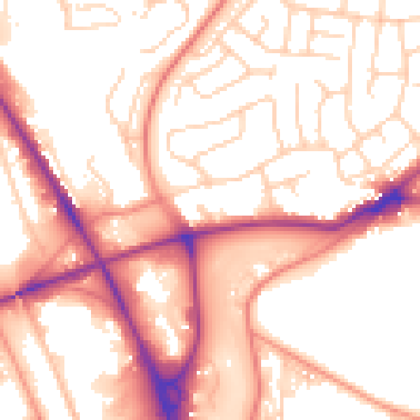
Daytime· 07:00 – 23:00
55.0dB

Night-time· 23:00 – 07:00
45.4dB