2 Ashbourne Bank, Bradford, BD2 4AL
About 2 Ashbourne Bank
2 Ashbourne Bank is a two-bedroom semi-detached house in Bradford (BD2 4AL). It has a recorded floor area of 52 m² (around 560 sq ft), construction records dating it to 1930-1949 and council tax band B. The latest certificate (April 2018) shows an F (score 37), near the bottom of the EPC scale. The recommended improvements would lift it to B (score 89), a 4-band jump. Main heating runs on electricity.
Across 2001–2018, sale prices on this property compounded at 5.4% per year. Today's modelled estimate of £139,000 sits 58.9% above the 2018 sale of £87,500. Most recent transfer: September 2018 at £87,500.
What this property has
Inside
- Bedrooms2
- Bathrooms1
Everything you need to know about 2 Ashbourne Bank
The true value, the hidden risks and the full sale history, in one report.
Pick your report · every report is £14.99
One time fee only - money back guarantee

The data behind every report


Energy performance
Recommended upgrades on file would lift this property by multiple EPC bands.
EPC Rating
Get a survey for this property
Level 2 HomeBuyer Report
We've checked 10 risk factors against the available data for this property and believe a Level 2 HomeBuyer Report could be a suitable option for you.
From £495 · Includes VAT
Planning history
2 Ashbourne Bank has no planning applications on record.
But the area is active
2 notable applications nearby — larger schemes and conversions that could reshape the street. The report maps them all.
Sales history & valuation
Sale price has at least doubled since 2001.
£139,000
Modelled from EPC, postcode comparables and a sale-price growth of 5.4% per year over 17 years.
£87,500
Growth on file: 5.4% per year over 17 years.
Sales timeline
12 September 2018Most recent
£87,500
+143.1%over 16 years30 November 2001
£36,000
Median price across the last 5 sales in BD2 4AL: £88,000 (2020–2006).
Versus other Ashbourne Bank homes
On epc rating, 2 Ashbourne Bank runs well behind the street norm.
Price per m²
£1,683
Street avg £1,642
Floor Area
52 m²
Street avg 54 m²
Habitable Rooms
3 rooms
Street avg 4 rooms
CO₂ Emissions
4.3 t/year
Street avg 2.7 t/year
Everything you need to know about 2 Ashbourne Bank
The true value, the hidden risks and the full sale history, in one report.
Pick your report · every report is £14.99
One time fee only - money back guarantee
The data behind every report
Similar properties nearby
1 Grovelands
BD2 4HH
1 Ashbourne Rise
BD2 4DJ
1 Hatfield Road
BD2 4QX
1 Ashbourne Haven
BD2 4DN
1 Bolton Court, Lister Lane
BD2 4LR
1 Ashbourne Oval
BD2 4DH
1 Grove House Drive
BD2 4DS
1 Boundary Place
BD2 4PA
The neighbourhood at a glance
Crime
3/mo
Steady year-on-year across the wider district.
Nearest stop
0.0 km
Ashbourne Rd Ashbourne Ave — bus stop.
Closest school
0.5 km
Grove House Primary School. 56 schools nearby.
Go deeper on the local area
A Local Area report breaks down crime, transport links, schools and air quality in depth.
Road noise across the postcode
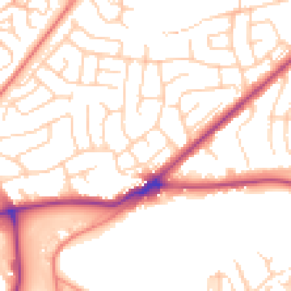
Daytime· 07:00 – 23:00
52.5dB

Night-time· 23:00 – 07:00
42.1dB