51a, Stony Lane, Bradford, BD2 2HL
About 51a
51a is a mid-terrace house in Bradford (BD2 2HL). It has a recorded floor area of 75 m² (around 807 sq ft) and construction records dating it to 1900-1929. At 75 m² this is the 16th smallest of 22 units on EPC record in the building, where floor areas span 36–142 m². The building's EPC ratings span E to C, with this unit at the bottom. The latest certificate (August 2019) shows an E (score 42), well below the UK norm with real room to improve. The recommended improvements would push it to D (score 59).
At 75 m² the property is well over the postcode median (57 m² across 21 EPCs), placing it in the larger end of the local stock.
Everything you need to know about 51a
The true value, the hidden risks and the full sale history, in one report.
Pick your report · every report is £14.99
One time fee only - money back guarantee

The data behind every report


Energy performance
51a's carbon output runs well above what efficient homes in the postcode produce.
EPC Rating
Get a survey for this property
Level 3 Building Survey
Because the property was built before 1919 and has solid (non-cavity) walls, we believe a Level 3 building survey should be considered.
From £820 · Includes VAT
Planning history
51a has no planning applications on record.
A planning report still maps activity across the surrounding area and reads this property's extension & conversion potential.
Sales history & valuation
51a has no Land Registry sales on file, suggesting it has stayed in the same hands since registration began.
£137,000
Modelled from EPC, postcode comparables.
No sales recorded with HM Land Registry
That can mean the property has never traded since the registry began publishing in 1995, was a new build that hasn't been registered yet, or is held in the same hands long-term.
Median price across the last 5 sales in BD2 2HL: £120,000 (2023–2020).
Versus other Stony Lane homes
On floor area, 51a stands well clear of the street.
EPC Rating
42 (E)
Street avg 55 (E)
Floor Area
75 m²
Street avg 49 m²
CO₂ Emissions
6.7 t/year
Street avg 3.6 t/year
Habitable Rooms
2 rooms
Street avg 2 rooms
Everything you need to know about 51a
The true value, the hidden risks and the full sale history, in one report.
Pick your report · every report is £14.99
One time fee only - money back guarantee
The data behind every report
Similar properties nearby
The neighbourhood at a glance
Crime
3/mo
Steady year-on-year across the wider district.
Nearest stop
0.1 km
Stony Lane Junction — bus stop.
Closest school
0.3 km
Cavendish Primary School. 40 schools nearby.
Go deeper on the local area
A Local Area report breaks down crime, transport links, schools and air quality in depth.
Road noise across the postcode
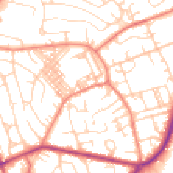
Daytime· 07:00 – 23:00
52.7dB

Night-time· 23:00 – 07:00
40.8dB