19 Hutton Terrace, Bradford, BD2 2DY
About 19 Hutton Terrace
19 Hutton Terrace is a mid-terrace house in Bradford (BD2 2DY). It has a recorded floor area of 74 m² (around 797 sq ft), construction records dating it to 1950-1966 and council tax band B. The latest certificate (January 2011) shows an E (score 44), well below the UK norm with real room to improve. The latest certificate is from January 2011, so improvements made since then won't be reflected.
Today's modelled estimate of £144,000 sits 69.5% above the 2011 sale of £84,950. It lags the bulk of the postcode on energy efficiency (less efficient than 82% of similar EPCs). Last sold in December 2011, so it's been off the market for around 15 years.
Everything you need to know about 19 Hutton Terrace
The true value, the hidden risks and the full sale history, in one report.
Pick your report · every report is £14.99
One time fee only - money back guarantee

The data behind every report


Energy performance
19 Hutton Terrace's EPC is over a decade old — improvements since won't be reflected.
EPC Expired
This certificate is over 10 years old and is no longer valid.Expired 21 Jan 2021
EPC Rating
Get a survey for this property
Level 2 HomeBuyer Report
We've checked 10 risk factors against the available data for this property and believe a Level 2 HomeBuyer Report could be a suitable option for you.
From £495 · Includes VAT
Planning history
19 Hutton Terrace has no planning applications on record.
A planning report still maps activity across the surrounding area and reads this property's extension & conversion potential.
Sales history & valuation
19 Hutton Terrace valuation sits well clear of the typical sold price in this postcode.
£144,000
Modelled from EPC, postcode comparables.
£84,950
Recorded with HM Land Registry.
Sales timeline
2 December 2011Most recent
£84,950
Median price across the last 5 sales in BD2 2DY: £155,000 (2024–2023).
Nearby sales in BD2 2DY
Versus other Hutton Terrace homes
19 Hutton Terrace is notably below the street on epc rating.
Price per m²
£1,148
Street avg £1,492
Floor Area
74 m²
Street avg 89 m²
Habitable Rooms
5 rooms
Street avg 5 rooms
CO₂ Emissions
3.7 t/year
Street avg 4.1 t/year
Everything you need to know about 19 Hutton Terrace
The true value, the hidden risks and the full sale history, in one report.
Pick your report · every report is £14.99
One time fee only - money back guarantee
The data behind every report
Similar properties nearby
The neighbourhood at a glance
Crime
3/mo
Steady year-on-year across the wider district.
Nearest stop
0.1 km
Hazelcroft — bus stop.
Closest school
0.2 km
Cavendish Primary School. 38 schools nearby.
Go deeper on the local area
A Local Area report breaks down crime, transport links, schools and air quality in depth.
Road noise across the postcode
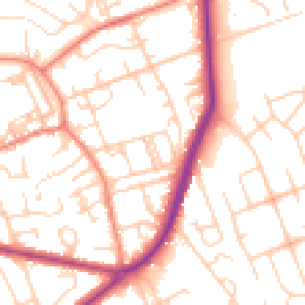
Daytime· 07:00 – 23:00
53.0dB

Night-time· 23:00 – 07:00
42.0dB