20 Hutton Hall Drive, Bradford, BD2 2AP
About 20 Hutton Hall Drive
20 Hutton Hall Drive is a semi-detached house in Bradford (BD2 2AP). It has a recorded floor area of 127 m² (around 1367 sq ft) and construction records dating it to 2019. The latest certificate (April 2021) returns a high B (score 85), putting the home a stone's throw from an A rating. The recommended improvements would push it to A (score 94).
At 127 m² the property is well over the postcode median (94 m² across 28 EPCs), placing it in the larger end of the local stock. Today's modelled estimate of £276,000 is 12.7% above the 2021 sale price. Sold May 2021 for £245,000. That sale was during the post-pandemic price surge, when transactions cleared materially above pre-2020 trend.
Everything you need to know about 20 Hutton Hall Drive
The true value, the hidden risks and the full sale history, in one report.
Pick your report · every report is £14.99
One time fee only - money back guarantee

The data behind every report


Energy performance
EPC Rating
Get a survey for this property
Level 2 HomeBuyer Report
We've checked 10 risk factors against the available data for this property and believe a Level 2 HomeBuyer Report could be a suitable option for you.
From £545 · Includes VAT
Planning history
20 Hutton Hall Drive has no planning applications on record.
A planning report still maps activity across the surrounding area and reads this property's extension & conversion potential.
Sales history & valuation
The latest sale landed in the post-pandemic price surge — useful context when reading the figure.
£276,000
Modelled from EPC, postcode comparables.
£245,000
Recorded with HM Land Registry.
Sales timeline
12 May 2021Most recent
£245,000
Median price across the last 5 sales in BD2 2AP: £238,500 (2025–2022).
Nearby sales in BD2 2AP
Versus other Hutton Hall Drive homes
Floor Area for 20 Hutton Hall Drive runs comfortably ahead of the street norm.
Price per m²
£1,929
Street avg £1,988
Floor Area
127 m²
Street avg 98 m²
CO₂ Emissions
1.8 t/year
Street avg 1.5 t/year
Years Held
5 years
Street avg 5 years
Everything you need to know about 20 Hutton Hall Drive
The true value, the hidden risks and the full sale history, in one report.
Pick your report · every report is £14.99
One time fee only - money back guarantee
The data behind every report
Similar properties nearby
The neighbourhood at a glance
Crime
3/mo
Steady year-on-year across the wider district.
Nearest stop
0.1 km
Stony Lane Junction — bus stop.
Closest school
0.1 km
Cavendish Primary School. 38 schools nearby.
Go deeper on the local area
A Local Area report breaks down crime, transport links, schools and air quality in depth.
Road noise across the postcode
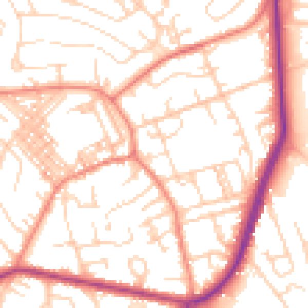
Daytime· 07:00 – 23:00
53.6dB

Night-time· 23:00 – 07:00
42.2dB