4 Bolton Crescent, Bradford, BD2 2AE
About 4 Bolton Crescent
4 Bolton Crescent is a semi-detached house in Bradford (BD2 2AE). It has a recorded floor area of 78 m² (around 836 sq ft), construction records dating it to 1930-1949 and council tax band B. The latest certificate (May 2009) shows a C (score 70). The latest certificate is from May 2009, so improvements made since then won't be reflected.
On energy efficiency it sits in the top 10% of properties in this postcode.
Everything you need to know about 4 Bolton Crescent
The true value, the hidden risks and the full sale history, in one report.
Pick your report · every report is £14.99
One time fee only - money back guarantee

The data behind every report


Energy performance
4 Bolton Crescent ranks among the most efficient homes in the postcode for energy use.
EPC Expired
This certificate is over 10 years old and is no longer valid.Expired 18 May 2019
EPC Rating
Get a survey for this property
Level 2 HomeBuyer Report
We've checked 10 risk factors against the available data for this property and believe a Level 2 HomeBuyer Report could be a suitable option for you.
From £495 · Includes VAT
Planning history
4 Bolton Crescent has no planning applications on record.
A planning report still maps activity across the surrounding area and reads this property's extension & conversion potential.
Sales history & valuation
4 Bolton Crescent has no Land Registry sales on file, suggesting it has stayed in the same hands since registration began.
£161,000
Modelled from EPC, postcode comparables.
No sales recorded with HM Land Registry
That can mean the property has never traded since the registry began publishing in 1995, was a new build that hasn't been registered yet, or is held in the same hands long-term.
Median price across the last 5 sales in BD2 2AE: £135,000 (2021–2006).
Nearby sales in BD2 2AE
Versus other Bolton Crescent homes
EPC Rating for 4 Bolton Crescent runs comfortably ahead of the street norm.
EPC Rating
70 (C)
Street avg 57 (D)
Floor Area
78 m²
Street avg 77 m²
CO₂ Emissions
3.6 t/year
Street avg 4.7 t/year
Habitable Rooms
6 rooms
Street avg 5 rooms
Everything you need to know about 4 Bolton Crescent
The true value, the hidden risks and the full sale history, in one report.
Pick your report · every report is £14.99
One time fee only - money back guarantee
The data behind every report
Similar properties nearby
The neighbourhood at a glance
Crime
3/mo
Steady year-on-year across the wider district.
Nearest stop
0.2 km
Idle Rd High House Road — bus stop.
Closest school
0.4 km
St Francis Catholic Primary School, A Voluntary Academy. 41 schools nearby.
Go deeper on the local area
A Local Area report breaks down crime, transport links, schools and air quality in depth.
Road noise across the postcode
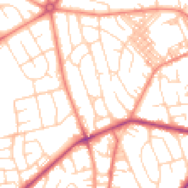
Daytime· 07:00 – 23:00
52.2dB

Night-time· 23:00 – 07:00
40.5dB