11 Farriers Croft, Bradford, BD2 1ET
About 11 Farriers Croft
11 Farriers Croft is a three-bedroom semi-detached house in Bradford (BD2 1ET). It has a recorded floor area of 77 m² (around 829 sq ft), construction records dating it to 1983-1990 and council tax band C. The latest certificate (November 2020) shows a C (score 72). The recommended improvements would push it to B (score 87). The home occupies a cul-de-sac position.
Across 2002–2021, sale prices on this property compounded at 3.6% per year. Today's modelled estimate of £222,000 sits 57.4% above the 2021 sale of £141,000. On a £-per-square-foot basis, the last sale (£170/sq ft) was about 23.8% above the typical sold price in the postcode. Most recent transfer: August 2021 at £141,000. That sale was during the post-pandemic price surge, when transactions cleared materially above pre-2020 trend.
What this property has
Inside
- Bedrooms3
- Bathrooms1
- Open-plan layoutYes
- Dining roomYes
Outside
- Private gardenYes
- ParkingYes
- Cul-de-sacYes
Building
- Heating systemGas
- RefurbishedYes
Everything you need to know about 11 Farriers Croft
The true value, the hidden risks and the full sale history, in one report.
Pick your report · every report is £14.99
One time fee only - money back guarantee

The data behind every report


Energy performance
EPC Rating
Get a survey for this property
Level 2 HomeBuyer Report
We've checked 10 risk factors against the available data for this property and believe a Level 2 HomeBuyer Report could be a suitable option for you.
From £545 · Includes VAT
Planning history
11 Farriers Croft has no planning applications on record.
But the area is active
1 notable application nearby — larger schemes and conversions that could reshape the street. The report maps them all.
Sales history & valuation
11 Farriers Croft's estimated value is more than triple its earliest registered sale price (2002).
£222,000
Modelled from EPC, postcode comparables and a sale-price growth of 3.6% per year over 19 years.
£141,000
Growth on file: 3.6% per year over 19 years.
Sales timeline
19 August 2021Most recent
£141,000
+93.2%over 18 years25 November 2002
£72,995
Median price across the last 5 sales in BD2 1ET: £240,000 (2025–2021).
Nearby sales in BD2 1ET
Versus other Farriers Croft homes
Floor Area for 11 Farriers Croft lags the street by a wide margin.
Price per m²
£1,831
Street avg £1,811
Floor Area
77 m²
Street avg 84 m²
Habitable Rooms
4 rooms
Street avg 5 rooms
CO₂ Emissions
2.8 t/year
Street avg 3.5 t/year
Everything you need to know about 11 Farriers Croft
The true value, the hidden risks and the full sale history, in one report.
Pick your report · every report is £14.99
One time fee only - money back guarantee
The data behind every report
Similar properties nearby
1 Camargue Fold
BD2 1HB
1 Farriers Croft
BD2 1ET
1 Greenwood Avenue
BD2 1JF
1 Howarth Crescent
BD2 1HZ
1 Greenwood Mount
BD2 1JG
1 Chestnut Grove
BD2 1BP
1 Drovers Way
BD2 1JZ
1 Finsbury Drive
BD2 1QA
The neighbourhood at a glance
Daytime road noise here sits well below conversation level — a quiet pocket of the postcode.
Crime
3/mo
Steady year-on-year across the wider district.
Nearest stop
0.1 km
Thorndale Rise — bus stop.
Closest school
0.3 km
Hanson Academy. 51 schools nearby.
Go deeper on the local area
A Local Area report breaks down crime, transport links, schools and air quality in depth.
Road noise across the postcode
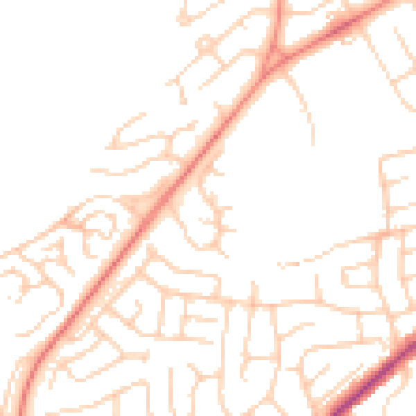
Daytime· 07:00 – 23:00
48.9dB

Night-time· 23:00 – 07:00
38.1dB