10 Daisy Fields, Bradford, BD2 1DZ
About 10 Daisy Fields
10 Daisy Fields is a semi-detached house in Bradford (BD2 1DZ). It has a recorded floor area of 72 m² (around 775 sq ft) and council tax band B. The latest certificate (July 2014) returns a B (score 83), comfortably above the UK average. The recommended improvements would push it to A (score 96). The latest certificate is from July 2014, so improvements made since then won't be reflected.
Last sold in July 2014, so it's been off the market for around 12 years. Today's modelled estimate of £154,000 is 40% above the 2014 sale price.
Everything you need to know about 10 Daisy Fields
The true value, the hidden risks and the full sale history, in one report.
Pick your report · every report is £14.99
One time fee only - money back guarantee

The data behind every report


Energy performance
10 Daisy Fields's carbon output is low for the local stock.
EPC Expired
This certificate is over 10 years old and is no longer valid.Expired 17 Jul 2024
EPC Rating
Get a survey for this property
Level 2 HomeBuyer Report
We've checked 10 risk factors against the available data for this property and believe a Level 2 HomeBuyer Report could be a suitable option for you.
From £495 · Includes VAT
Planning history
10 Daisy Fields has no planning applications on record.
But the area is active
1 notable application nearby — larger schemes and conversions that could reshape the street. The report maps them all.
Sales history & valuation
£154,000
Modelled from EPC, postcode comparables.
£110,000
Recorded with HM Land Registry.
Sales timeline
24 July 2014Most recent
£110,000
Median price across the last 5 sales in BD2 1DZ: £160,000 (2025–2020).
Versus other Daisy Fields homes
On co₂ emissions, 10 Daisy Fields stands well clear of the street.
Price per m²
£1,528
Street avg £1,676
Floor Area
72 m²
Street avg 78 m²
CO₂ Emissions
1.3 t/year
Street avg 1.7 t/year
Years Held
12 years
Street avg 10 years
Everything you need to know about 10 Daisy Fields
The true value, the hidden risks and the full sale history, in one report.
Pick your report · every report is £14.99
One time fee only - money back guarantee
The data behind every report
Similar properties nearby
The neighbourhood at a glance
Crime
3/mo
Steady year-on-year across the wider district.
Nearest stop
0.3 km
Brisbane Avenue — bus stop.
Closest school
0.4 km
Poplars Farm Primary School. 53 schools nearby.
Go deeper on the local area
A Local Area report breaks down crime, transport links, schools and air quality in depth.
Road noise across the postcode
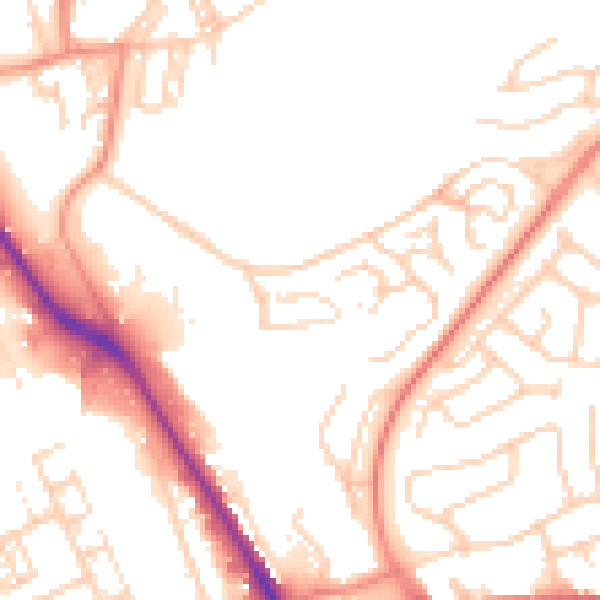
Daytime· 07:00 – 23:00
52.1dB
Night-time· 23:00 – 07:00
42.1dB