93 Grosvenor Road, Ettingshall Park, Wolverhampton, WV4 6QU
About 93 Grosvenor Road
93 Grosvenor Road is a property in Ettingshall Park, Wolverhampton, Wolverhampton (WV4 6QU). It has council tax band C.
Held since May 1997 — that's 29 years off the open market, well above the local norm. Only one transfer is on record with HM Land Registry, suggesting it has stayed in the same hands for a long time.
Everything you need to know about 93 Grosvenor Road
The true value, the hidden risks and the full sale history, in one report.
Pick your report · every report is £14.99
One time fee only - money back guarantee

The data behind every report


Energy performance
No EPC on record
This property doesn't have an Energy Performance Certificate yet. An EPC is required to sell or let — and unlocks our automated valuation.
Get a survey for this property
Level 2 HomeBuyer Report
We've checked 10 risk factors against the available data for this property and believe a Level 2 HomeBuyer Report could be a suitable option for you.
Planning history
93 Grosvenor Road has no planning applications on record.
A planning report still maps activity across the surrounding area and reads this property's extension & conversion potential.
Sales history & valuation
Latest sale on 93 Grosvenor Road was the lowest on Land Registry record across the postcode.
£56,500
Recorded with HM Land Registry.
Sales timeline
15 May 1997Most recent
£56,500
Median price across the last 5 sales in WV4 6QU: £210,000 (2024–2021).
Nearby sales in WV4 6QU
127 Grosvenor Road, Ettingshall Park, Wolverhampton, WV4 6QU
Sold Aug 2024
£269,95087 Grosvenor Road, Ettingshall Park, Wolverhampton, WV4 6QU
Sold Apr 2022
£205,00091 Grosvenor Road, Ettingshall Park, Wolverhampton, WV4 6QU
Sold Oct 2021
£210,000101 Grosvenor Road, Ettingshall Park, Wolverhampton, WV4 6QU
Sold Jul 2017
£150,000113 Grosvenor Road, Ettingshall Park, Wolverhampton, WV4 6QU
Sold May 2016
£210,000
Everything you need to know about 93 Grosvenor Road
The true value, the hidden risks and the full sale history, in one report.
Pick your report · every report is £14.99
One time fee only - money back guarantee
The data behind every report
Similar properties nearby
The neighbourhood at a glance
Daytime road noise here sits well below conversation level — a quiet pocket of the postcode.
Crime
6/mo
Steady year-on-year across the wider district.
Nearest stop
2.1 km
Coseley Rail Station — railway station.
Closest school
0.6 km
Hill Avenue Academy. 30 schools nearby.
Go deeper on the local area
A Local Area report breaks down crime, transport links, schools and air quality in depth.
Road noise across the postcode
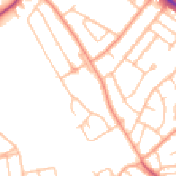
Daytime· 07:00 – 23:00
48.3dB

Night-time· 23:00 – 07:00
38.6dB