18 Wood Street, Lanesfield, Wolverhampton, WV4 6LH
About 18 Wood Street
18 Wood Street is a property in Lanesfield, Wolverhampton, Wolverhampton (WV4 6LH). It has council tax band B.
Held since February 1997 — that's 29 years off the open market, well above the local norm. Only one transfer is on record with HM Land Registry, suggesting it has stayed in the same hands for a long time.
Everything you need to know about 18 Wood Street
The true value, the hidden risks and the full sale history, in one report.
Pick your report · every report is £14.99
One time fee only - money back guarantee

The data behind every report


Energy performance
No EPC on record
This property doesn't have an Energy Performance Certificate yet. An EPC is required to sell or let — and unlocks our automated valuation.
Get a survey for this property
Level 2 HomeBuyer Report
We've checked 10 risk factors against the available data for this property and believe a Level 2 HomeBuyer Report could be a suitable option for you.
Planning history
18 Wood Street has no planning applications on record.
A planning report still maps activity across the surrounding area and reads this property's extension & conversion potential.
Sales history & valuation
Latest sale on 18 Wood Street was the lowest on Land Registry record across the postcode.
£47,000
Recorded with HM Land Registry.
Sales timeline
7 February 1997Most recent
£47,000
Median price across the last 5 sales in WV4 6LH: £138,000 (2022–2008).
Nearby sales in WV4 6LH
21 Wood Street, Lanesfield, Wolverhampton, WV4 6LH
Sold Apr 2022
£205,00017 Wood Street, Lanesfield, Wolverhampton, WV4 6LH
Sold Jul 2021
£140,00045 Wood Street, Lanesfield, Wolverhampton, WV4 6LH
Sold Jan 2019
£138,0008 Wood Street, Lanesfield, Wolverhampton, WV4 6LH
Sold May 2015
£114,99915 Wood Street, Lanesfield, Wolverhampton, WV4 6LH
Sold Jun 2008
£124,995
Everything you need to know about 18 Wood Street
The true value, the hidden risks and the full sale history, in one report.
Pick your report · every report is £14.99
One time fee only - money back guarantee
The data behind every report
Similar properties nearby
The neighbourhood at a glance
Crime
6/mo
Steady year-on-year across the wider district.
Nearest stop
1.7 km
Coseley Rail Station — railway station.
Closest school
0.2 km
Lanesfield Primary School. 35 schools nearby.
Go deeper on the local area
A Local Area report breaks down crime, transport links, schools and air quality in depth.
Road noise across the postcode
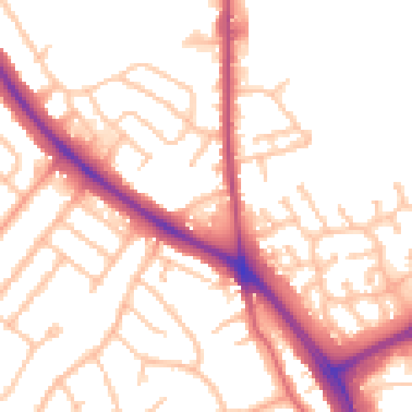
Daytime· 07:00 – 23:00
52.7dB

Night-time· 23:00 – 07:00
44.1dB