334a, Penn Road, Wolverhampton, WV4 4BZ
About 334a
334a is a three-bedroom detached house in Wolverhampton (WV4 4BZ). It has a recorded floor area of 82 m² (around 883 sq ft), construction records dating it to 1967-1975 and council tax band D. The latest certificate (June 2025) shows a D (score 60), on the cusp of jumping into the C band. The recommended improvements would push it to C (score 70). Other recorded features include a conservatory.
It changed hands recently, sold August 2025 for £307,000. At 82 m² it sits well below the postcode median (131 m² across 4 EPCs), making it one of the more compact homes locally. On a £-per-square-foot basis, the last sale (£348/sq ft) was about 261.4% above the typical sold price in the postcode.
What this property has
Inside
- Bedrooms3
- Bathrooms1
- Dining roomYes
- CloakroomYes
- ConservatoryYes
Outside
- Private gardenRear
- GarageYes
Building
- Central heatingYes
Everything you need to know about 334a
The true value, the hidden risks and the full sale history, in one report.
Pick your report · every report is £14.99
One time fee only - money back guarantee

The data behind every report


Energy performance
EPC Rating
Get a survey for this property
Level 2 HomeBuyer Report
We've checked 10 risk factors against the available data for this property and believe a Level 2 HomeBuyer Report could be a suitable option for you.
From £595 · Includes VAT
Planning history
334a has no planning applications on record.
But the area is active
3 notable applications nearby — larger schemes and conversions that could reshape the street. The report maps them all.
Sales history & valuation
Latest sale on 334a was the highest on Land Registry record across the postcode.
£306,000
Modelled from EPC, postcode comparables.
£307,000
Recorded with HM Land Registry.
Sales timeline
26 August 2025Most recent
£307,000
Median price across the last 5 sales in WV4 4BZ: £215,000 (2013–1999).
Nearby sales in WV4 4BZ
Versus other Penn Road homes
Price per m² for 334a runs comfortably ahead of the street norm.
Price per m²
£3,744
Street avg £1,044
Floor Area
82 m²
Street avg 131 m²
Habitable Rooms
4 rooms
Street avg 6 rooms
CO₂ Emissions
3.6 t/year
Street avg 6.3 t/year
Everything you need to know about 334a
The true value, the hidden risks and the full sale history, in one report.
Pick your report · every report is £14.99
One time fee only - money back guarantee
The data behind every report
Similar properties nearby
The neighbourhood at a glance
Crime
6/mo
Steady year-on-year across the wider district.
Nearest stop
2.1 km
Miller and Carter PH — bus stop.
Closest school
0.5 km
Woodfield Primary School. 29 schools nearby.
Go deeper on the local area
A Local Area report breaks down crime, transport links, schools and air quality in depth.
Road noise across the postcode
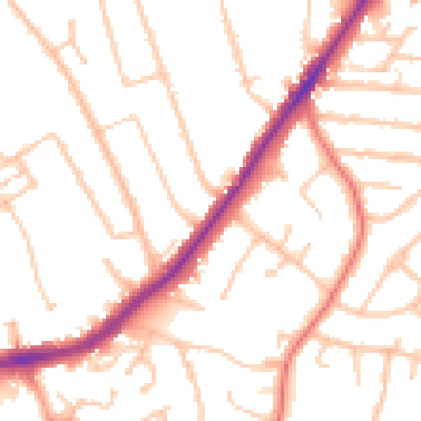
Daytime· 07:00 – 23:00
50.4dB

Night-time· 23:00 – 07:00
41.4dB