106 Windsor Avenue, Wolverhampton, WV4 4BN
About 106 Windsor Avenue
106 Windsor Avenue is a four-bedroom semi-detached house in Wolverhampton (WV4 4BN). It has a recorded floor area of 67 m² (around 717 sq ft), construction records dating it to 1930-1949 and council tax band C. The latest certificate (March 2012) shows an E (score 50), well below the UK norm with real room to improve. The recommended improvements would push it to D (score 59). The latest certificate is from March 2012, so improvements made since then won't be reflected.
Today's modelled estimate of £326,000 sits 71.6% above the 2014 sale of £190,000. On a £-per-square-foot basis, the last sale (£265/sq ft) was about 64.8% above the typical sold price in the postcode. At 67 m² it's 27.6% smaller than the typical home in the postcode (92 m² median across 27 EPCs). It lags the bulk of the postcode on energy efficiency (less efficient than 74% of similar EPCs). 12 years since the last transfer (July 2014).
What this property has
Inside
- Bedrooms4
- Bathrooms2
- Dining roomYes
- EnsuiteYes
Building
- RefurbishedYes
Everything you need to know about 106 Windsor Avenue
The true value, the hidden risks and the full sale history, in one report.
Pick your report · every report is £14.99
One time fee only - money back guarantee

The data behind every report


Energy performance
106 Windsor Avenue's EPC is over a decade old — improvements since won't be reflected.
EPC Expired
This certificate is over 10 years old and is no longer valid.Expired 07 Mar 2022
EPC Rating
Get a survey for this property
Level 3 Building Survey
Because the property has been extended more than once and has solid (non-cavity) walls, we believe a Level 3 building survey should be considered.
From £955 · Includes VAT
Planning history
106 Windsor Avenue has no planning applications on record.
But the area is active
3 notable applications nearby — larger schemes and conversions that could reshape the street. The report maps them all.
Sales history & valuation
106 Windsor Avenue valuation sits well clear of the typical sold price in this postcode.
£326,000
Modelled from EPC, postcode comparables.
£190,000
Recorded with HM Land Registry.
Sales timeline
31 July 2014Most recent
£190,000
Median price across the last 5 sales in WV4 4BN: £260,000 (2025–2022).
Nearby sales in WV4 4BN
130 Windsor Avenue, Wolverhampton, WV4 4BN
Sold Aug 2025
£220,000164 Windsor Avenue, Wolverhampton, WV4 4BN
Sold May 2025
£260,000132 Windsor Avenue, Wolverhampton, WV4 4BN
Sold Mar 2025
£370,000166 Windsor Avenue, Wolverhampton, WV4 4BN
Sold Sept 2024
£247,000128 Windsor Avenue, Wolverhampton, WV4 4BN
Sold Jul 2022
£263,000
Versus other Windsor Avenue homes
On floor area, 106 Windsor Avenue runs well behind the street norm.
Price per m²
£2,853
Street avg £2,077
Floor Area
67 m²
Street avg 100 m²
Habitable Rooms
5 rooms
Street avg 5 rooms
CO₂ Emissions
4.6 t/year
Street avg 5.4 t/year
Everything you need to know about 106 Windsor Avenue
The true value, the hidden risks and the full sale history, in one report.
Pick your report · every report is £14.99
One time fee only - money back guarantee
The data behind every report
Similar properties nearby
1 Hanbury Crescent
WV4 4BW
1 Buckley Road
WV4 4LJ
1 Dimmingsdale Road
WV4 4XF
1 Hamble Road
WV4 4QF
1 Ashley Road
WV4 4DP
1 Fairview Road, Penn
WV4 4TD
1 Fancourt Avenue
WV4 4HY
1 Arley Grove
WV4 4QX
The neighbourhood at a glance
Daytime road noise here sits well below conversation level — a quiet pocket of the postcode.
Crime
6/mo
Steady year-on-year across the wider district.
Nearest stop
2.2 km
Miller and Carter PH — bus stop.
Closest school
0.4 km
Woodfield Primary School. 32 schools nearby.
Go deeper on the local area
A Local Area report breaks down crime, transport links, schools and air quality in depth.
Road noise across the postcode
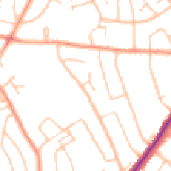
Daytime· 07:00 – 23:00
47.6dB

Night-time· 23:00 – 07:00
38.2dB